



Could This Be the Strongest El Niño in 1,000 Years? What Australians Should Know
If the latest weather headlines sound a little dramatic, you’re not imagining things.
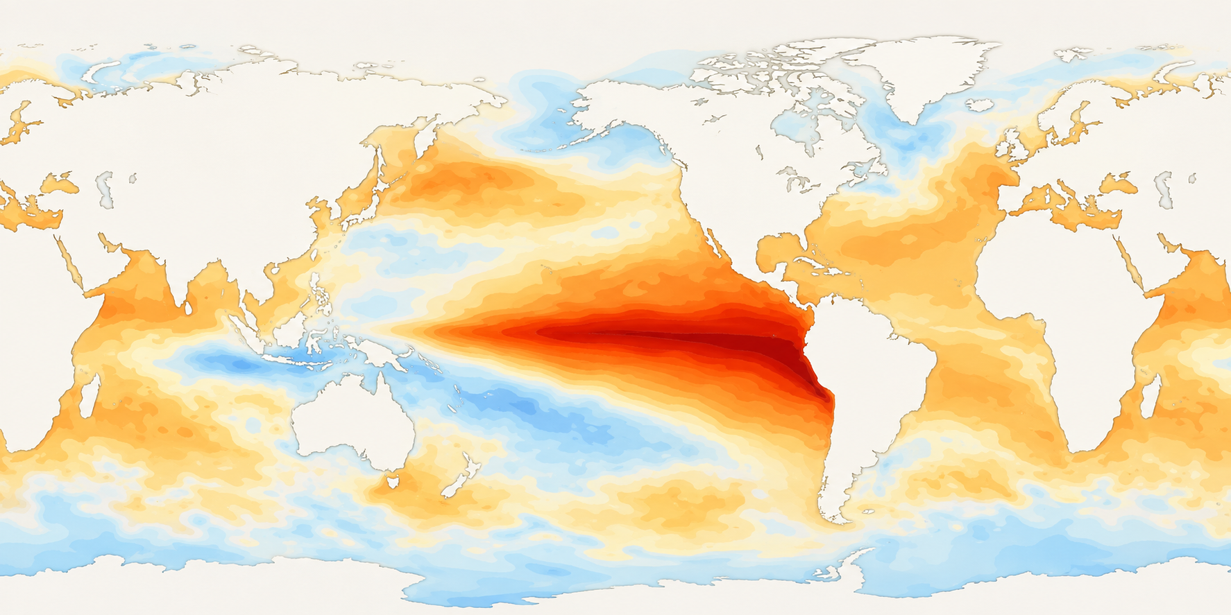
A meteorologist has warned that the rapidly developing 2026 “Super El Niño” could potentially be the strongest in 500 to 1,000 years.
Yep. One thousand years.
The warning, reported by News.com.au, comes as an unusually powerful El Niño continues to build across the Pacific.
And with Australia heading towards spring and another potentially brutal summer, there’s an obvious question:
How worried should we actually be?
The short answer is that the 500-to-1,000-year comparison is an extreme forecast, not an official declaration from the Bureau of Meteorology.
But underneath the headline, there is something worth paying attention to.
A powerful El Niño is already underway. It is strengthening quickly. Climate models expect it to intensify further. And the Bureau is already forecasting warmer-than-average conditions across large parts of Australia.
So while nobody can tell you exactly what the temperature will be outside your house in January, this is one summer worth preparing for early.
Want the full forecast? Read our complete guide to Australia’s Super El Niño summer 2026–27, covering temperatures, rainfall, warm nights, bushfire conditions and the other climate drivers shaping the season.
The short version
Here’s what we know right now:
- El Niño is already firmly established.
- The Bureau of Meteorology says it is strong and continuing to intensify.
- Climate models expect it to peak as a very strong event during late spring or summer.
- Warmer-than-average daytime temperatures are currently favoured across Australia south of the tropics.
- Warmer-than-average nights are favoured across most of the country.
- Parts of southern and eastern Australia are also leaning towards below-average rainfall.
- But a stronger El Niño does not automatically mean proportionally more extreme weather everywhere in Australia.
And that last point matters.
Where did the “strongest in 500 to 1,000 years” warning come from?
The headline followed comments from US meteorologist Ryan Maue, who described the developing event as potentially being the strongest El Niño in “500 to 1000 years”.
The original News.com.au report looks at the extraordinary conditions developing across the Pacific and comparisons being made with major historical El Niño events.
One comparison attracting particular attention is the extraordinary 1877–78 El Niño.
That event occurred alongside severe drought across Asia, Africa and Brazil during the wider Great Drought of 1875–78.
It was an extraordinary climatic and humanitarian disaster.
But there is an important catch when comparing 2026 directly with an event from almost 150 years ago.
We don’t have the same quality of measurements
Today we have satellites, ocean buoys, monitoring systems and enormous volumes of atmospheric data.
In 1877, we didn’t.
Scientists can reconstruct historical sea temperatures and climate conditions, but the further back we go, the larger the uncertainty becomes.
So saying the current event will definitely be the strongest in 500 or 1,000 years goes further than the available observations can confidently prove.
It is better understood as a warning about just how unusual the developing conditions appear.
What is the Bureau of Meteorology actually saying?
This is where things become more concrete.
As of August 2026, the Bureau of Meteorology says El Niño is firmly established and continuing to intensify.
The Bureau’s Relative Niño3.4 index reached approximately +2.20°C for the week ending 9 August, comfortably above its El Niño threshold.
It has also reported that:
- ocean and atmospheric indicators are consistent with a strong El Niño
- tropical Pacific waters are expected to continue warming through spring
- the event will likely peak in late spring or summer
- forecasts are pointing towards a very strong El Niño
- modelled Pacific temperatures could reach levels above the warmest observed since 1950
- unusually large amounts of heat are sitting below the surface of the equatorial Pacific
Whatever label eventually gets attached to it, this is not shaping up to be an ordinary El Niño.
We break down the climate models, historical comparisons and what “Super El Niño” actually means in much more detail in our Australian Super El Niño Summer 2026–27 Guide.
Does a record-strength El Niño mean record heat for Australia?
Not automatically.
This is probably the most important part of the whole story.
The Bureau repeatedly warns that:
The strength of El Niño in the Pacific does not necessarily equal the strength of its effects over Australia.
Australia’s weather is influenced by a whole collection of moving parts.
El Niño is one of the biggest, but the Indian Ocean Dipole, Southern Annular Mode, surrounding ocean temperatures, soil moisture, local weather systems and tropical conditions all matter too.
We have seen this before.
The 1997–98 El Niño was one of the strongest measured in modern history, yet its rainfall impact across Australia was less severe and less uniform than you might expect from the strength of the Pacific signal alone.
Think of El Niño as loading the dice rather than deciding exactly how they land.
It changes the odds.
It doesn’t write the daily forecast months in advance.
What could it mean where you live?
This is also where national headlines become a bit misleading.
Australia is enormous.
A Super El Niño summer in Darwin doesn’t look the same as one in Melbourne.
Sydney and Brisbane may have to deal with warm, humid nights.
Western NSW, South Australia and inland Queensland can face extreme dry heat.
Perth and south-west WA have their own temperature and rainfall outlook.
The tropical north may have to watch the timing of the monsoon.
That’s why we’ve built an interactive state-by-state Australian summer guide.
Choose your state and nearest region to see:
- expected temperature changes
- warmer-night outlook
- rainfall signal
- the type of heat you’re more likely to experience
- the biggest summer conditions to watch
- practical cooling considerations for your part of Australia
If you only want to know “what does this actually mean for where I live?”, start there.
So what is Australia currently forecast to experience?
While January and February remain too far away for precise day-to-day forecasts, the broad pattern heading towards summer is becoming clearer.
1. Warmer days
The Bureau’s current long-range outlook favours above-average daytime temperatures across Australia south of the tropics.
That includes most of the country’s major population centres.
This doesn’t mean every day will be scorching.
It means the odds are tilted towards a warmer period overall, increasing the potential for extended spells of uncomfortable heat when the right weather systems develop.
2. Warmer nights
This could be one of the most noticeable parts of the coming warm season.
Above-average overnight temperatures are favoured across most of Australia.
Anyone who has tried sleeping through a run of hot Australian nights knows how quickly the heat can become exhausting.
A hot afternoon is one thing.
A bedroom that is still roasting at midnight is another.
When temperatures refuse to properly drop overnight, homes retain heat, sleep becomes harder and there is less opportunity to recover before doing it all again the next day.
3. A drier lean across parts of the south and east
The Bureau currently favours below-average rainfall across parts of south-eastern Australia, Tasmania, the far south-west and areas of Queensland.
Other parts of Australia have a different outlook.
That’s another reason statements like “El Niño means Australia will be dry” are too simplistic.
The conditions that matter most depend heavily on where you live.
You can check your region directly in our Summer 2026–27 Interactive State-by-State Guide.
What exactly is a “Super El Niño”?
Here’s where the terminology gets messy.
“Super El Niño” isn’t an official Bureau of Meteorology classification.
It is an informal term generally used to describe exceptionally strong events where tropical Pacific sea temperatures rise far beyond normal El Niño thresholds.
The famous modern examples usually include:
- 1982–83
- 1997–98
- 2015–16
The developing 2026 event increasingly appears capable of joining that group.
Whether it ultimately becomes the strongest is something scientists will be able to assess with much more confidence after the event peaks.
For now, strong to very strong El Niño is the less dramatic but more scientifically useful description.
Not quite as exciting for a headline, admittedly.
Why Australians should prepare before summer arrives
The point of seasonal forecasting isn’t to panic about weather that hasn’t happened yet.
It’s to give people more time to prepare.
And when the strongest signals are pointing towards a warmer spring followed by a potentially very hot summer, there are plenty of simple things you can sort out before everybody suddenly remembers they need them on the first 40°C day.
Get your home summer-ready
Check your air conditioner if you have one.
Clean the filters.
Make sure windows, blinds and curtains can effectively block afternoon sun.
Think about which rooms trap heat and where you actually spend your time during hot weather.
Fans can also help move air around occupied spaces and make many warm conditions more comfortable.
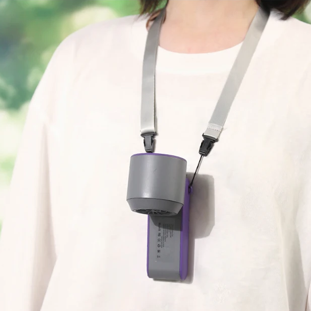
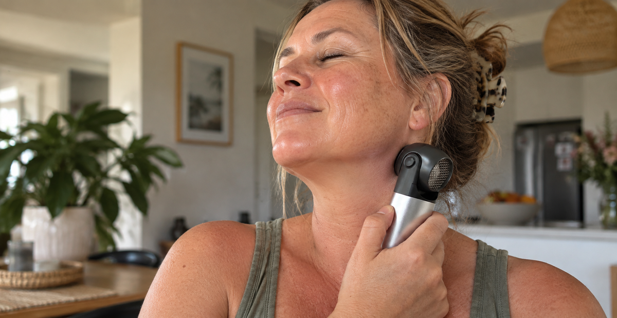
Portable fans have one particularly useful advantage: the airflow can move with you instead of being stuck in one room.
Bedroom to kitchen. Desk to couch. Garage to backyard.
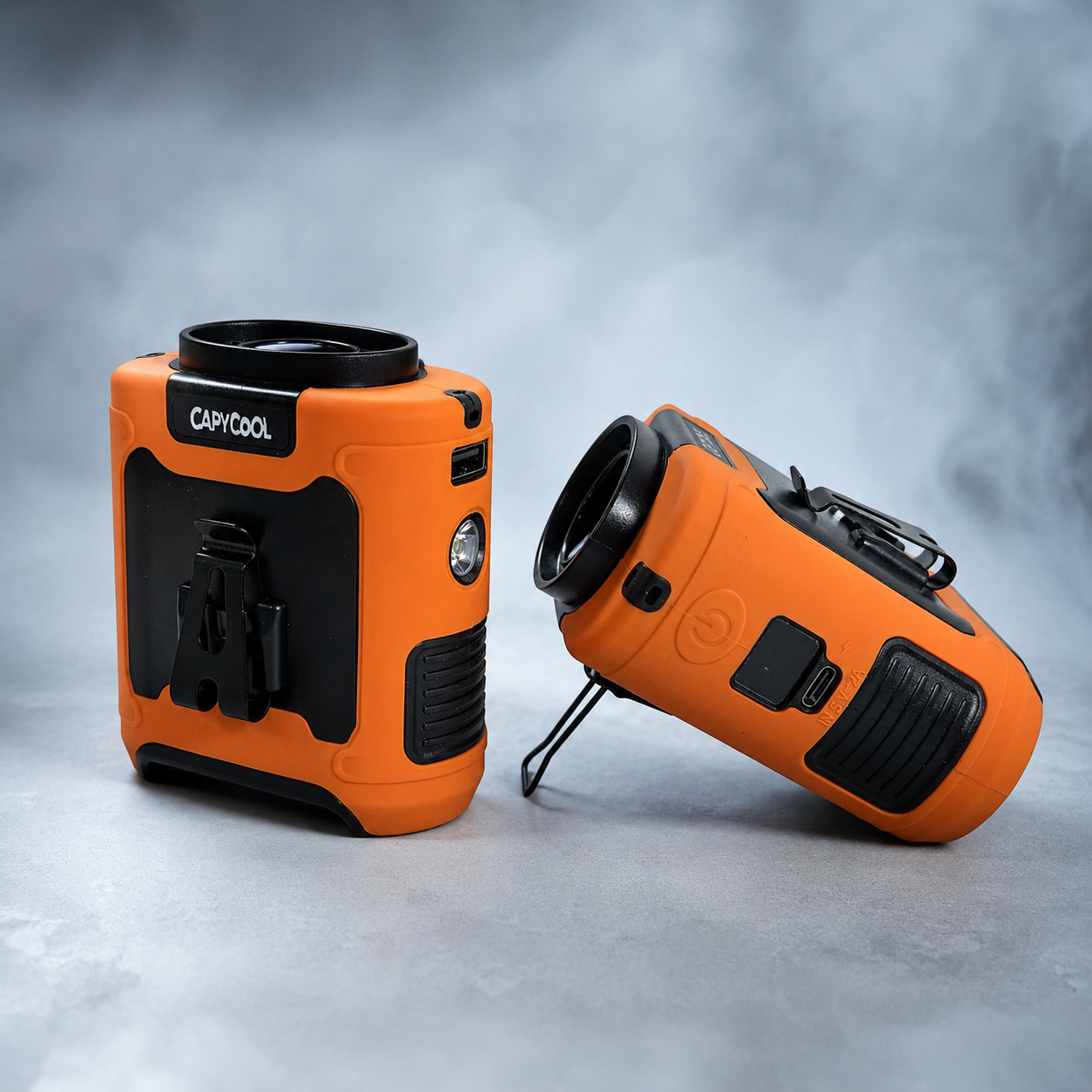
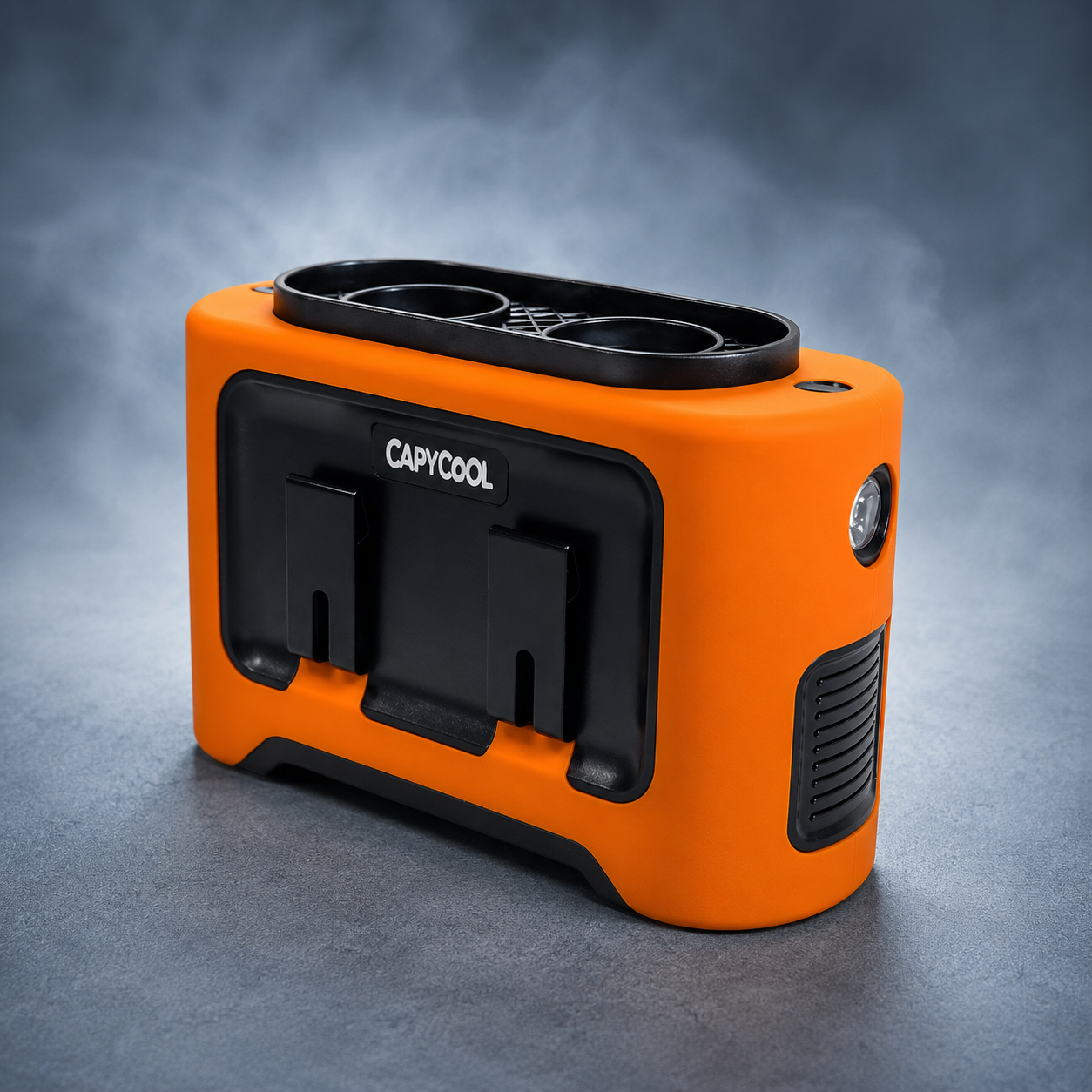
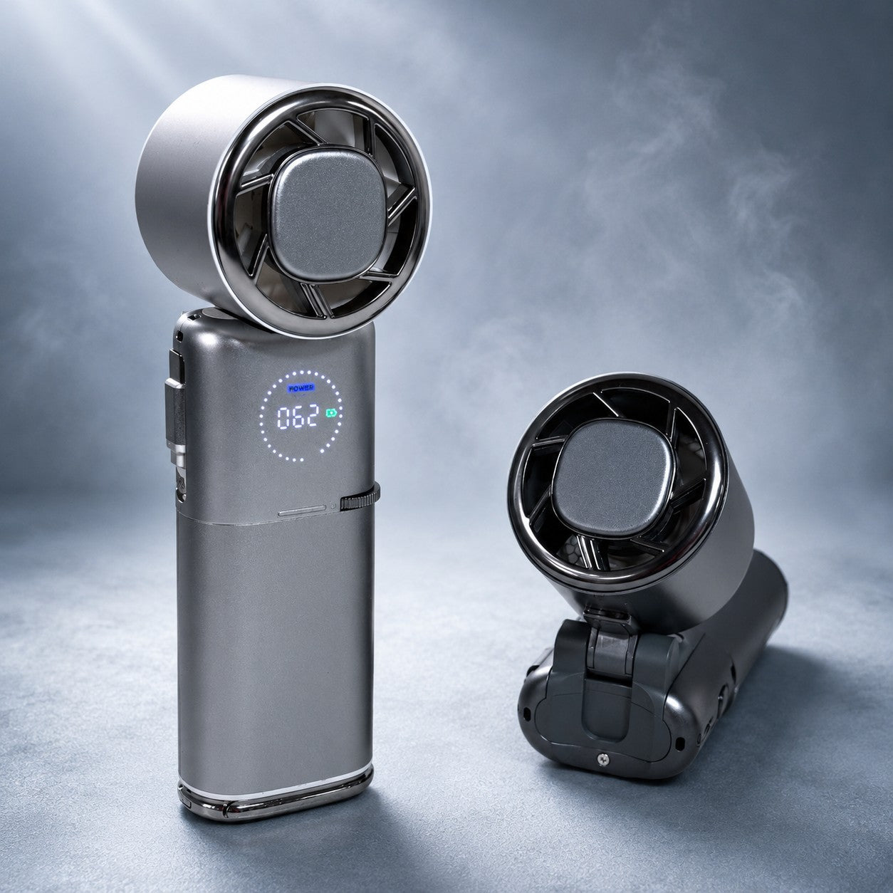
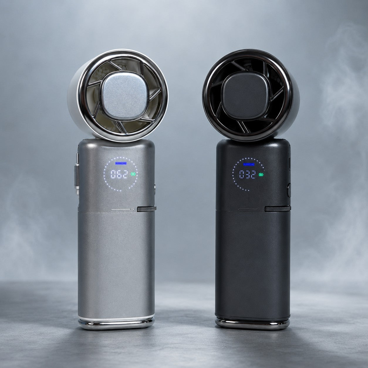
If you’re getting your cooling setup organised early, you can explore CapyCool’s portable fans designed for everything from home and travel to camping and outdoor work.
Think beyond the house
Heat becomes particularly annoying when you can’t simply retreat to an air-conditioned living room.
People working outdoors, camping, travelling, working in sheds or garages, sitting through kids’ weekend sport or spending long periods away from mains power have a very different cooling problem.
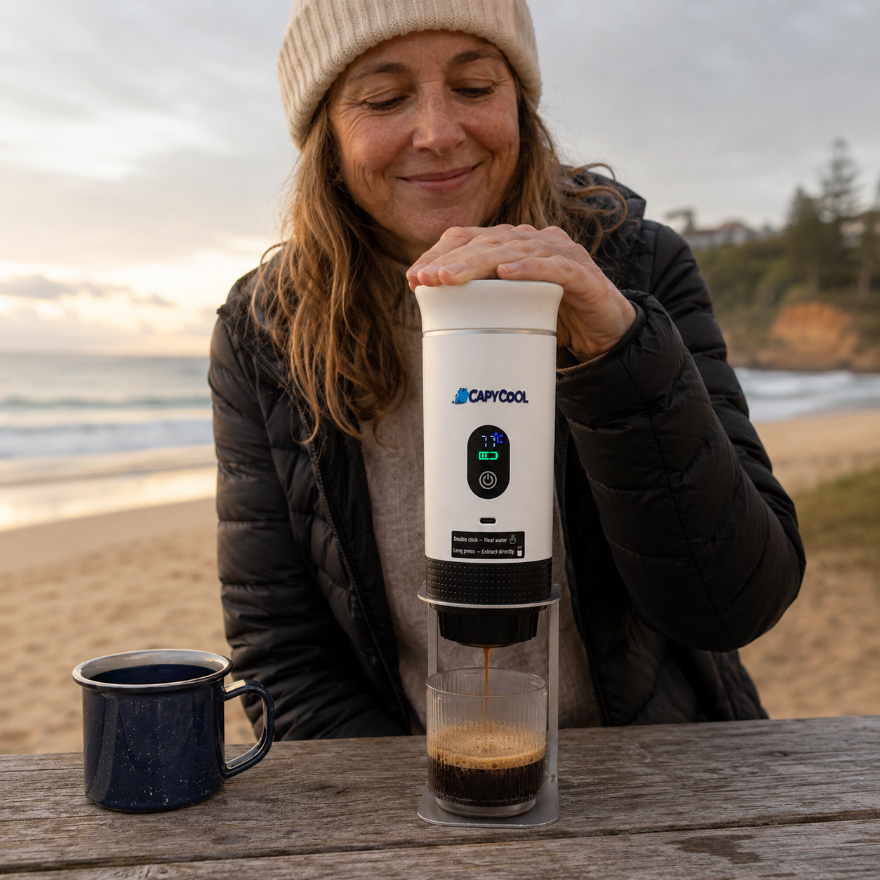
That’s exactly why portable cooling has become such a big focus for us at CapyCool.
Rather than trying to cool an entire environment, personal fans put airflow directly where you need it.
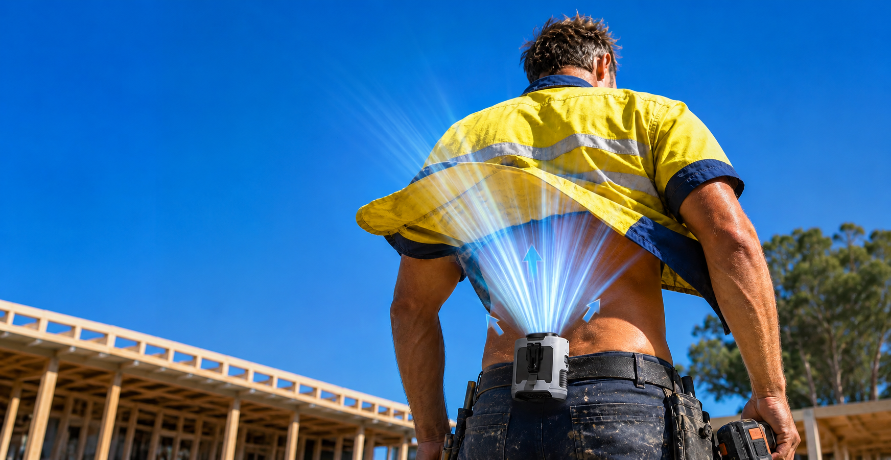
For anyone moving around in the heat, waist fans and shirt fans can provide hands-free airflow while you’re working, walking or getting things done outdoors.
Prepare for hot nights too
Most people think about beating the heat during the middle of the day.
Don’t forget 11pm.
If overnight temperatures remain elevated, having a fan you can easily move into the bedroom can make your cooling setup much more flexible.
For homes with air conditioning, fans can also help circulate cooled air around occupied areas rather than expecting one vent to do all the work.
A quick but important note about fans and extreme heat
Portable fans are a comfort tool.
They are not a replacement for air conditioning, hydration, shade, rest breaks, workplace heat procedures or official health advice during dangerous heat.
There are also conditions where simply blowing extremely hot, dry air across the body may not provide appropriate cooling.
So if extreme heat warnings are issued, follow official Bureau, health and emergency-service advice first.
The goal is to have more cooling options available, not pretend one gadget can defeat the Australian summer.
Even we’d call that optimistic.
What about worksites?
For people working outdoors or in poorly cooled environments, preparing early matters even more.
Heat can affect comfort, concentration and physical performance long before somebody reaches the point of obvious heat illness.
Employers should have appropriate heat-management procedures covering things such as:
- access to drinking water
- shade
- rest and recovery periods
- appropriate scheduling
- ventilation
- air conditioning where practical
- monitoring workers during extreme conditions
Personal airflow can sit alongside those measures.
For people who need their hands free while moving, lifting or working outside, our waist and shirt fan range is designed around portable, targeted airflow.
CapyCool fans are also increasingly being used across demanding environments including worksites, vehicles, workshops and emergency-service applications.
The heat problem is changing
There is a broader reason stories like this attract so much attention.
Australia has always been hot.
But the background conditions are changing.
The developing El Niño is occurring alongside exceptionally warm global ocean conditions rather than in isolation.
That doesn’t tell us exactly what temperature Sydney will reach on a random Tuesday in January.
But it does help explain why scientists are paying such close attention to this event.
El Niño temporarily redistributes enormous amounts of heat through the ocean and atmosphere.
When an unusually powerful event occurs on top of already elevated temperatures, the potential for climate records to be challenged increases.
Should Australians be worried about summer 2026–27?
We’d use a different word.
Prepared.
There is no reliable forecast saying every Australian city is heading for months of uninterrupted extreme heat.
There is also no guarantee that the strongest El Niño produces the strongest Australian impacts.
But there is now enough evidence to take the coming warm season seriously.
We already have:
- a strong and intensifying El Niño
- forecasts pointing towards a very strong event
- warmer-than-average days favoured across much of Australia
- warmer-than-average nights favoured across most of the country
- a drier signal across several southern and eastern regions
- exceptionally warm ocean conditions
That’s a pretty good reminder to get your summer preparation done before summer actually arrives.
Want the forecast for your part of Australia?
We’ve put together two resources depending on how deep you want to go.
For the complete national picture, read our Australia’s Super El Niño Summer: The Ultimate 2026–27 Guide.
It covers the El Niño outlook, temperature and rainfall forecasts, other climate drivers, hot nights, bushfire considerations and what previous major El Niño events can teach us.
Or, if you just want to know what’s likely to happen where you live, open our Interactive State-by-State Summer 2026–27 Guide.
Choose your state and nearest region for a quick local breakdown of:
- temperature
- rainfall
- warm nights
- expected heat type
- key conditions to watch
We’ll keep both guides updated as newer Bureau forecasts give us a clearer picture of December, January and February.
Because whether this El Niño ultimately earns the title of strongest in a century, 500 years or 1,000 years, there is one forecast we’re already pretty comfortable making:
It’s probably not the summer to discover your old fan stopped working last February.
Stay cool.
Sources & Further Reading
Original News Report:
Meteorologist warns “Super El Niño” could be the strongest in 500 to 1,000 years - News.com.au
CapyCool Summer Resources:
Australia’s Super El Niño Summer: The Ultimate 2026–27 Guide
Australia’s Summer 2026–27 Interactive State-by-State Guide
Seasonal forecasts change as new observations become available. For dangerous or extreme weather, always follow current Bureau of Meteorology forecasts, warnings and relevant emergency and health advice.














Share:
Shirt Fans & Undershirt Fans: The Complete Guide
How to Choose the Right Portable Fan: The Complete Buying Guide