



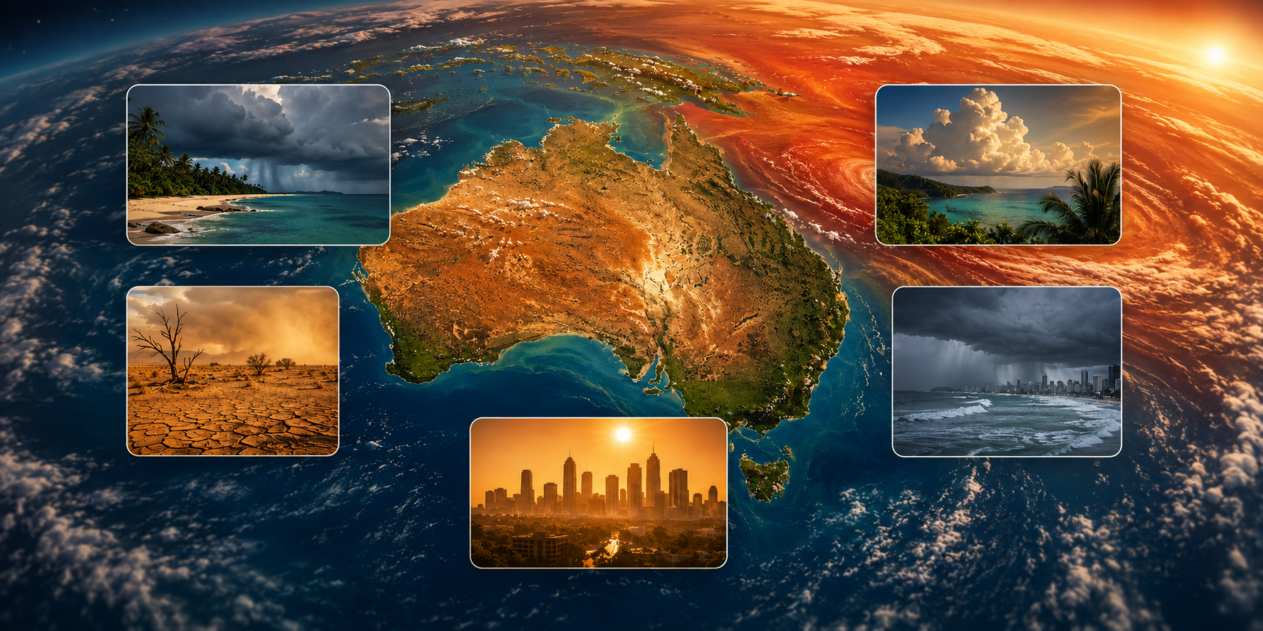

Want to know what summer could look like where you live?
We've just launched our interactive Australia Summer 2026-27 map. Click your state, choose your nearest region and get a quick local breakdown of expected temperature changes, warmer nights, rainfall, heat type and the biggest summer conditions to watch.
It is the quickest way to turn a national forecast into something useful for your part of Australia, whether that is humid summer heat around Sydney or Brisbane, extreme dry heat through the Riverina and Mallee, or a longer tropical build-up in the Top End.
Explore the interactive summer mapAustralian summer 2026-27: the short answer
Australia is heading towards summer with a strong El Nino already established, unusually warm ocean conditions and a growing dry signal across several southern and eastern regions. The biggest takeaway is that summer will not feel the same everywhere. Inland Australia faces a very different heat problem from humid coastal cities and the tropical north.
- A strong El Nino is already underway. The Bureau of Meteorology declared El Nino underway on 16 June 2026. Its Relative Nino3.4 index reached +2.20°C for the week ending 9 August 2026, well above the Bureau's +0.80°C El Nino threshold.
- The event could become very strong. NOAA's Climate Prediction Center reported a July 2026 Nino3.4 value of +1.4°C on its tropical-mean-adjusted index. NOAA's August outlook gave a 69% chance of its adjusted RONI measure reaching +2.5°C or higher during October to December 2026.
- Warmer than average days and nights are favoured across most of Australia. The Bureau of Meteorology's current long-range outlook strongly favours above-average maximum temperatures south of the tropics and above-average minimum temperatures across most of the country.
- Several southern and eastern regions lean drier. The Bureau of Meteorology favours below-average rainfall across the south-east, far south-west and parts of eastern and northern Queensland, while some western interior and north-western regions have a wetter lean.
- Warm nights could become one of the most widespread summer problems. Above-average minimum temperatures are favoured across most of Australia, reducing the overnight relief that normally helps people and homes recover after a hot day.
- The right cooling strategy depends on your weather. University of Sydney research led by Professor Ollie Jay shows that airflow can be useful in hot humid conditions, while very hot dry air can reach a point where relying on a fan alone is inappropriate. Around 40°C in dry conditions is a useful warning point.
What changed in this update
This is the first edition of our Australian summer 2026-27 guide. It includes the latest El Nino status, regional temperature and rainfall outlooks, the northern monsoon signal, bushfire considerations and the science behind staying comfortable in different types of heat.
We've also launched a new interactive state-by-state summer guide , so you can click into your state and nearest region without digging through every table on this page.
Several major seasonal reports are still to come. We will update this guide as AFAC publishes its next bushfire outlook, the Bureau of Meteorology releases its 2026-27 tropical cyclone outlook and later summer forecasts give us a clearer picture of January and February.
Australia at a glance: what summer 2026-27 could mean where you live
The broad signal is warmer, but Australia's size matters. Inland southern Australia faces a stronger hot and dry signal, the tropical north may experience a longer humid build-up, and some northern and western regions have a very different rainfall outlook from the south-east.
Here is the simplest way to read the outlook before getting into each state and region in detail.
| State or territory | Summer signal | What it could feel like | Biggest thing to watch |
|---|---|---|---|
| NSW and ACT | Hotter, many areas drier | Warmer nights near the coast. Hotter and much drier conditions inland, with 40°C+ heat more likely in western areas. | Curing grass and forest fuels, inland grassfire risk and runs of warm coastal nights. |
| Queensland | Hotter, mixed rainfall | Humid heat along the coast, extreme dry heat farther west and a potentially longer tropical build-up in the north. | Delayed wet-season relief, humid heat in the east and extreme temperatures inland. |
| Victoria | Hotter and drier | Dry summer heat with sharp temperature spikes when hot north-westerly winds develop ahead of cool changes. | Grass and forest fire conditions, especially across northern and western Victoria. |
| Western Australia | Strong regional split | Hotter and drier around Perth, the south-west and inland south. Extremely hot conditions through the Pilbara, with more humidity near the coast. | Extreme dry heat through the Wheatbelt and Goldfields, plus prolonged heat stress in the Pilbara. |
| South Australia | Hotter and drier | Dry heat dominates, with the Riverland, Murraylands and outback facing the strongest extreme-heat signal. | 40°C+ inland heat, grass and crop fuels and periods of very high electricity demand. |
| Northern Territory | Hotter, later monsoon risk | A longer hot and humid build-up around Darwin and the Top End, while Central Australia faces extreme dry heat. | Delayed monsoon relief in the north and frequent 40°C+ conditions through the interior. |
| Tasmania | Warmer and drier | Warmer days and unusually mild nights for Tasmania, particularly around coastal areas influenced by warm surrounding seas. | Warm nights and increasing fire exposure through the Midlands, Central Highlands and south-east. |
How to read this: These are broad seasonal takeaways based on official climate information available as at 18 August 2026. They are not forecasts for individual storms, heatwaves or towns. Temperature confidence is higher than rainfall confidence, and January and February will become clearer as newer outlooks are released.
Is Australia really heading into a Super El Nino?
Yes. The current climate data supports describing this as a strong to very strong El Nino, although "Super El Nino" is an informal label rather than an official Bureau of Meteorology category. The Bureau declared El Nino underway on 16 June 2026, and Pacific conditions have continued to strengthen.
What does "Super El Nino" actually mean?
The term is commonly used when temperatures in the Nino3.4 region of the tropical Pacific reach roughly 2°C above normal. Events commonly placed in that class include 1982-83, 1997-98 and 2015-16.
The Bureau of Meteorology recorded a Relative Nino3.4 value of +2.20°C for the week ending 9 August 2026. NOAA uses a different tropical-mean-adjusted index, which is why its July 2026 Nino3.4 reading of +1.4°C looks different.
What have the Bureau of Meteorology and NOAA measured?
NOAA's Climate Prediction Center reported July 2026 index values of +1.4°C for Nino3.4, +1.7°C for Nino3 and +2.9°C for Nino1+2. NOAA also reported unusually high subsurface warmth and the most negative July Southern Oscillation Index on record.
Equatorial upper-ocean heat content during July 2026 was also the highest recorded for any month since that dataset began in 1979, according to NOAA.
How confident is the 2026-27 El Nino forecast?
Confidence that El Nino will persist through summer is high. The IRI and CCSR forecast plume issued on 20 July 2026 assigned a 100% probability to El Nino through several overlapping seasons extending into early 2027.
In the mid-July IRI model plume, 23 of 26 models reached the very strong El Nino range of at least +2.0°C around October to December 2026. NOAA's August outlook gave a 69% probability of its adjusted RONI measure reaching at least +2.5°C in that period.
The Bureau of Meteorology warns that a stronger El Nino in the Pacific does not automatically produce proportionally stronger impacts over Australia. El Nino changes the odds. Local rainfall, storms and individual heatwaves still depend on several other weather and climate drivers.
What happened during previous very strong El Ninos?
The 1982-83 event coincided with severe drought across much of eastern Australia and the Ash Wednesday fires on 16 February 1983. The very strong 1997-98 event produced a much less uniform rainfall impact across Australia.
The 2015-16 event brought Australia's third-driest spring on record, an early southern fire season, a very weak tropical cyclone season and prolonged heat into autumn 2016. They are useful comparisons, but no two El Nino summers play out in exactly the same way.
What else will shape Australia's summer weather?
El Nino is the biggest climate signal heading into summer, but it is not working alone. The Indian Ocean Dipole, Southern Annular Mode, tropical weather patterns, sea temperatures and the timing of the northern monsoon can all change what conditions actually feel like from one region to another.
Is the Indian Ocean Dipole making the dry signal stronger?
The Bureau of Meteorology recorded the Indian Ocean Dipole at +0.41°C for the week ending 9 August 2026. This was the third consecutive week around the positive threshold, with climate models favouring a positive IOD developing through winter and spring.
A positive IOD combined with El Nino has historically been associated with particularly dry conditions across parts of southern and eastern Australia. The IOD usually weakens around December as the northern monsoon develops.
What could the Southern Annular Mode change?
The Southern Annular Mode was neutral in early to mid-August 2026, with plenty of uncertainty beyond the short-term forecast period.
A negative SAM during summer can help draw hot and dry northerly airflow into parts of eastern Australia. A positive summer SAM can bring more moisture towards parts of the eastern seaboard. This is one reason a broadly dry seasonal forecast can still include wet weeks or major storms.
What does the Madden Julian Oscillation mean for northern Australia?
The Madden Julian Oscillation helps organise tropical cloud, rainfall and storm activity. A moderate MJO signal was sitting in the Western Pacific in early August, while the strong El Nino background may reduce some of the tropical pulses that normally help trigger monsoon bursts and cyclone development near Australia.
How warm are the seas around Australia?
Ocean temperatures are another reason to keep an eye on overnight heat. Global sea surface temperatures during July 2026 were +0.57°C relative to the comparison period used by NOAA, making it the warmest July in that record since 1900.
Waters off southern New South Wales and eastern and southern Tasmania were running around 2 to 3°C above average in August. Warm coastal water can increase humidity and help keep overnight temperatures higher along nearby coasts.
Is Australia's background climate getting hotter too?
Yes. The Bureau of Meteorology and CSIRO's State of the Climate 2024 report found that Australia had warmed by 1.51°C since 1910.
That does not mean every summer becomes uniformly hotter or drier. It does mean El Nino is now occurring on top of a warmer Australian climate than the El Nino events experienced many decades ago.
Will Australia's northern monsoon arrive late?
A later onset is currently favoured in parts of northern Australia. The Bureau of Meteorology's northern rainfall onset outlook issued on 6 August 2026 favoured a later than normal onset for eastern and far northern areas and the north-west coast.
Darwin's monsoon normally arrives in the last week of December. The 2024-25 monsoon was exceptionally late, arriving on 7 February 2025. There is no forecast saying this season will repeat that extreme, but the current signal points towards a longer build-up than usual in some northern areas.
Will Australia have fewer tropical cyclones during El Nino?
El Nino years have historically produced fewer and later tropical cyclones in the Australian region. The long-term Australian-region average is around 10 tropical cyclones each season, with 3 to 4 making landfall, according to Bureau of Meteorology historical data.
The dedicated 2026-27 tropical cyclone outlook is expected in October. We will update this section once the Bureau publishes its season-specific forecast.
What will summer 2026-27 be like in New South Wales and the ACT?
New South Wales and the ACT face a warmer summer signal, with a drier lean across much of the south-east and east. Coastal areas are more likely to deal with humidity and warm nights, while inland regions face a greater risk of very hot, dry conditions.
| Region | Max temp | Min temp | Rainfall | Heat type | Main concern |
|---|---|---|---|---|---|
| Sydney metro and coast | +0.5 to +1.5°C | +1 to +2°C | Below to near average | Humid coastal heat | Warm nights, heatwaves and bush-urban interface risk |
| Hunter and Central Coast | +1 to +1.5°C | +1 to +2°C | Below average | Warm and moderately humid | Grass and forest fire risk |
| Illawarra and South Coast | +0.5 to +1.5°C | +1 to +2°C | Below average | Humid coastal heat | Escarpment and forest fire conditions |
| Blue Mountains and Central Tablelands | +1 to +2°C | +1 to +1.5°C | Below average | Drier inland heat | Forest fuel and dry-lightning risk |
| Riverina and Murray | +1 to +2°C | +0.5 to +1.5°C | Below average | Hot and dry | Grassfire exposure and likely 40°C days |
| Central West and Orana | +1 to +2°C | +0.5 to +1.5°C | Below average | Hot and dry | Grassfire risk, dust and drought pressure |
| Far West | +1 to +2°C | +0.5 to +1.5°C | Below to near average | Very hot and very dry | Frequent 40°C+ conditions |
| Northern Rivers and Northern Tablelands | +1 to +1.5°C | +1 to +2°C | Below average | Humid coast, drier inland | Drying fuels and warmer nights |
| Canberra and ACT | +1 to +2°C | +1 to +1.5°C | Below average | Hot and dry | Grass and forest fire risk |
Forecast confidence: These are indicative regional anomaly ranges rather than exact local forecasts. Temperature confidence is stronger than rainfall confidence, particularly as we look towards January and February.
Sydney and the nearby coast will experience summer very differently from the Riverina or Far West. Warm Tasman Sea temperatures can keep coastal humidity and overnight temperatures elevated, while inland areas are exposed to hotter and drier air.
Grassfire risk also deserves attention. Several wetter years allowed substantial grass growth across parts of New South Wales. As conditions dry, that fuel can cure quickly. The NSW Rural Fire Service says the Bush Fire Danger Period begins on 1 October for most of the state.
What will summer 2026-27 be like in Queensland?
Queensland has a split outlook. The east and north-east lean drier, while western and Gulf areas have a wetter signal in some outlooks. Coastal Queensland should prepare for humid heat and warm nights, while inland regions face much drier and more extreme daytime temperatures.
| Region | Max temp | Min temp | Rainfall | Heat type | Main concern |
|---|---|---|---|---|---|
| South East Queensland | +0.5 to +1.5°C | +1 to +2°C | Below to near average | Humid coast, drier Downs | Humid heat and summer storm risk |
| Wide Bay Burnett | +1 to +1.5°C | +1 to +2°C | Below average | Warm and moderately humid | Grass and forest fire exposure |
| Central Queensland coast | +1 to +1.5°C | +1 to +2°C | Below to near average | Humid | Heat stress and later storms |
| Central West Queensland | +1 to +2°C | +0.5 to +1.5°C | Near to below average | Very hot and dry | Frequent 40°C+ days |
| North Queensland | +1 to +1.5°C | +1 to +2°C | Near to below average | Humid coast, drier inland | Longer hot build-up |
| Far North Queensland | +0.5 to +1.5°C | +1 to +2°C | Below average in east | Very humid | Delayed wet-season relief |
| Gulf Country | +1 to +1.5°C | +1 to +1.5°C | Near to above average | Hot and humid | Heat before wet-season relief |
| Channel Country and south-west | +1 to +2°C | +0.5 to +1.5°C | Near to below average | Very hot and dry | Extreme heat and dust |
Brisbane, the Gold Coast and Sunshine Coast have a different cooling problem from Longreach or south-west Queensland. High humidity slows sweat evaporation, which means moving air can be particularly useful for comfort.
Farther inland, temperatures can move above 40°C in much drier air. The tropical north also faces the possibility of a longer build-up before reliable monsoon relief arrives.
What will summer 2026-27 be like in Victoria?
Victoria has one of the clearest hot and dry signals heading into the warmer months. The Bureau of Meteorology's August outlook gives much of Victoria less than a 35% chance of exceeding median spring rainfall and around an 80% chance of above-median maximum temperatures.
| Region | Max temp | Min temp | Rainfall | Heat type | Main concern |
|---|---|---|---|---|---|
| Melbourne metro | +1 to +2°C | +1 to +1.5°C | Below average | Dry heat with sharp spikes | Hot north-westerly days before cool changes |
| Gippsland | +1 to +1.5°C | +1 to +1.5°C | Below average | Warm and drying | Forest fuels and dry-lightning risk |
| Mallee and Wimmera | +1.5 to +2°C | +0.5 to +1.5°C | Below average | Very hot and dry | Grass and crop-stubble fire risk |
| Northern Country and Goulburn-Murray | +1.5 to +2°C | +0.5 to +1.5°C | Below average | Hot and dry | Early curing grass |
| Central Highlands | +1 to +2°C | +0.5 to +1.5°C | Below average | Dry inland heat | Grass and forest fire exposure |
| Great Ocean Road and south-west | +1 to +1.5°C | +1 to +1.5°C | Below average | Milder coast, drying inland | Rainfall deficits and fire risk |
| Alpine and High Country | +1 to +2°C | +1 to +1.5°C | Below average | Warm for altitude | Forest dryness and dry lightning |
The biggest Victorian heat events often arrive as short, intense spikes. Hot north-westerly airflow can send temperatures sharply higher before a cool change, while also producing dangerous fire weather.
Melbourne water storages were at 67% on 11 August 2026, around 5 percentage points lower than a year earlier. We will keep watching storage levels as spring develops.
What will summer 2026-27 be like in Western Australia?
Western Australia has one of the strongest regional splits in the country. Perth, the south-west, Wheatbelt and inland south lean hotter and drier, while the far north and north-west have a wetter rainfall lean despite extreme heat.
| Region | Max temp | Min temp | Rainfall | Heat type | Main concern |
|---|---|---|---|---|---|
| Perth and Swan Coastal Plain | +1 to +2°C | +1 to +1.5°C | Below average | Hot and dry | Heatwaves and interface fire risk |
| South West and Great Southern | +0.5 to +1.5°C | +0.5 to +1.5°C | Below average | Warm and drying | Forest fire exposure |
| Wheatbelt | +1.5 to +2°C | +0.5 to +1.5°C | Below average | Very hot and dry | Grass, stubble and crop stress |
| Goldfields | +1.5 to +2°C | +0.5 to +1.5°C | Near to below average | Very hot and very dry | Many 40°C+ days |
| Gascoyne and Mid West | +1 to +2°C | +1 to +1.5°C | Near to below average | Hot and generally dry | Heat, grassfire and dust |
| Pilbara | +1 to +2°C | +1 to +2°C | Near to above average | Extreme heat, humid coast | Industrial heat stress |
| Kimberley | +1 to +1.5°C | +1 to +1.5°C | Above-average lean | Very hot and humid | Long build-up before monsoon relief |
Perth still has the Fremantle Doctor as a regular source of afternoon relief, but hotter background conditions increase the impact of days when the sea breeze is late or weak.
The Pilbara belongs in a category of its own. Inland sites can combine routine temperatures above 40°C with intense radiant heat, while coastal sites add significant humidity.
What will summer 2026-27 be like in South Australia?
South Australia leans hotter and drier across most of the state. Adelaide and the Hills face the familiar risk of severe heat on hot northerly and north-westerly winds before a change, while inland regions face the strongest extreme-heat signal.
| Region | Max temp | Min temp | Rainfall | Heat type | Main concern |
|---|---|---|---|---|---|
| Adelaide and Hills | +1 to +2°C | +1 to +1.5°C | Below average | Hot and dry | Hills fire exposure and heat spikes |
| Fleurieu and Kangaroo Island | +0.5 to +1.5°C | +0.5 to +1.5°C | Below average | Warm coastal conditions | Grass and scrub fire exposure |
| Barossa and Clare | +1 to +2°C | +0.5 to +1.5°C | Below average | Hot and dry | Grassfire and vineyard heat stress |
| Riverland and Murraylands | +1.5 to +2°C | +0.5 to +1.5°C | Below average | Very hot and dry | Frequent 40°C conditions |
| Eyre Peninsula | +1 to +1.5°C | +0.5 to +1.5°C | Below average | Hot and dry | Crop and grassfire exposure |
| Yorke Peninsula | +1 to +1.5°C | +0.5 to +1.5°C | Below average | Hot and dry | Grass and stubble fire risk |
| Flinders Ranges and outback | +1.5 to +2°C | +0.5 to +1.5°C | Near to below average | Extreme dry heat | Remote heat exposure and dust |
South Australia's inland regions are where dry-heat cooling advice becomes particularly important. On the hottest days, moving very hot air across the body is not enough on its own.
What will summer 2026-27 be like in the Northern Territory?
The Top End faces a potentially longer, hotter and more humid build-up, while Central Australia faces extreme dry heat.
| Region | Max temp | Min temp | Rainfall | Heat type | Main concern |
|---|---|---|---|---|---|
| Darwin and Top End | +0.5 to +1.5°C | +1 to +1.5°C | Near to below average, later onset | Very hot and humid | Long build-up and warm nights |
| Katherine and Daly | +1 to +1.5°C | +1 to +1.5°C | Near to below average | Hot and humid | Long build-up |
| Arnhem Land | +0.5 to +1.5°C | +1 to +1.5°C | Near average, later onset | Very humid | Delayed wet-season relief |
| Tennant Creek and Barkly | +1 to +2°C | +0.5 to +1.5°C | Near to below average | Very hot and drier | Many 40°C+ days |
| Alice Springs and Central Australia | +1 to +2°C | +0.5 to +1.5°C | Near to below average | Extreme dry heat | Frequent 40°C+ conditions |
Darwin's main problem is not simply the daytime maximum. High humidity and warm nights reduce opportunities for relief during a prolonged build-up.
Alice Springs and Central Australia face the opposite problem. The air can become extremely hot and dry, making shade, skin wetting and access to cooled indoor spaces increasingly important.
What will summer 2026-27 be like in Tasmania?
Tasmania leans warmer and drier than its usual summer baseline, with unusually warm surrounding seas likely to keep nights milder along parts of the coast.
| Region | Max temp | Min temp | Rainfall | Heat type | Main concern |
|---|---|---|---|---|---|
| Hobart and south-east | +0.5 to +1.5°C | +1 to +2°C | Below average | Warm and moderately dry | Grass and scrub fire exposure |
| Launceston and north | +0.5 to +1.5°C | +1 to +1.5°C | Below average | Warm valley heat | Grassfire exposure |
| North-west coast | +0.5 to +1°C | +1 to +1.5°C | Below to near average | Milder and more humid | Warmer nights |
| West coast | +0.5 to +1°C | +0.5 to +1.5°C | Below-average lean | Milder | Drying of normally wet vegetation |
| Central Highlands | +0.5 to +1.5°C | +0.5 to +1.5°C | Below average | Warm and drier | Peat, moorland and dry-lightning risk |
| Midlands | +1 to +1.5°C | +0.5 to +1.5°C | Below average | Dry inland heat | Grassfire and agricultural stress |
Unusually warm sea temperatures around eastern and southern Tasmania are worth watching because they can help lift overnight temperatures. Even where daytime temperatures remain mild by mainland standards, a run of unusually warm nights can still make summer harder to sleep through.
Do fans work better in dry heat or humid heat?
Fans are generally most useful when moving air helps sweat evaporate, which can be particularly valuable in humid weather. In very hot and very dry conditions, there is a point where moving hotter air across the body can add heat rather than provide useful cooling.
Why does moving air help in humid conditions?
Your body relies heavily on sweat evaporation to lose heat. When humidity rises, sweat evaporates more slowly. Moving air across exposed skin can improve evaporation and comfort.
This is why a portable fan, waist fan or neck fan can make practical sense in places such as Sydney, Brisbane, Cairns, Darwin or the humid Pilbara coast. The fan does not make the surrounding air colder. It moves air across the body and helps evaporation where conditions allow it.
When can a fan stop helping in very hot dry weather?
Research led by Professor Ollie Jay at the University of Sydney, including work published in the New England Journal of Medicine in 2024, found that fan use behaves differently as air becomes hotter and drier.
When air temperature rises above skin temperature, airflow can increase heat gain from the surrounding air. Around 39 to 40°C in dry conditions is a useful practical warning range, although the exact point varies with humidity, health and age.
The World Health Organization currently advises using an electric fan only when temperatures are below 40°C.
Where do waist fans, neck fans and cooling towels fit?
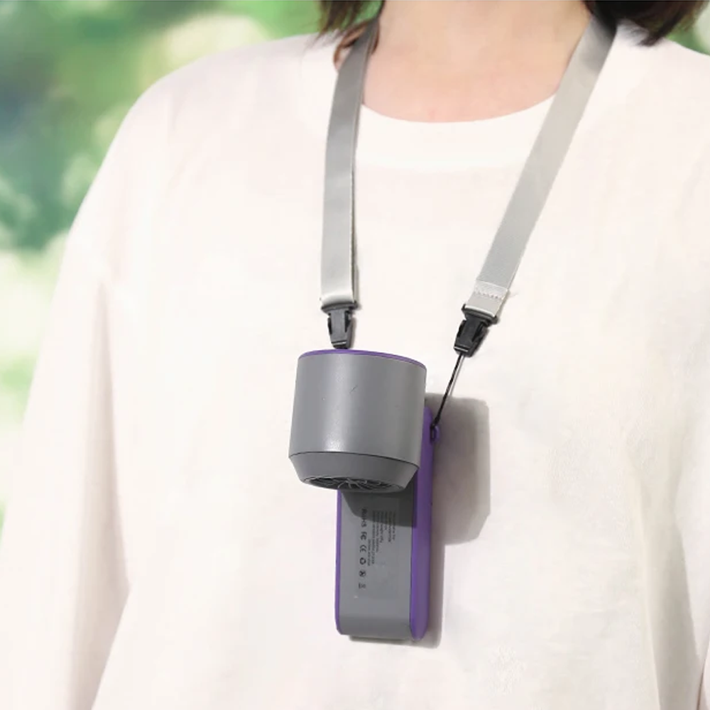
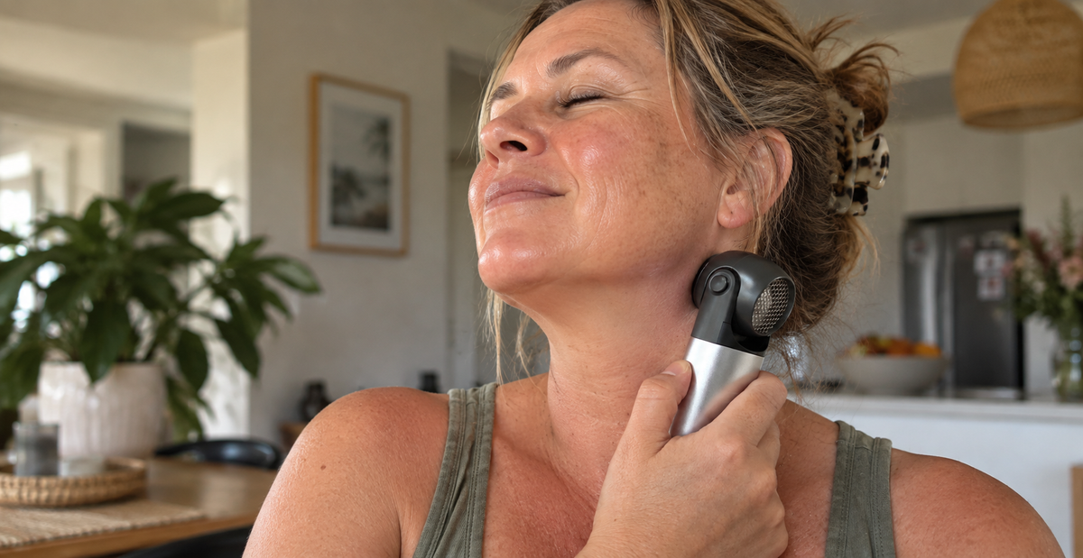
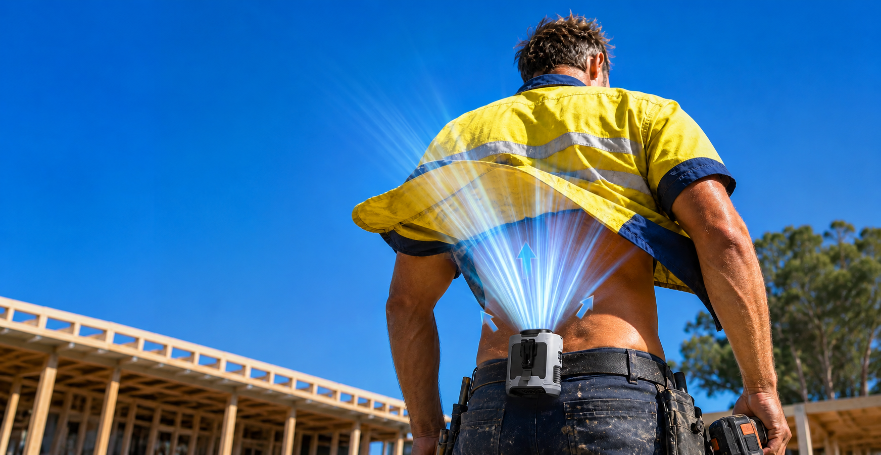
Different personal cooling products solve different problems. A waist fan for outdoor work keeps your hands free and can direct airflow under clothing. A neck fan provides airflow around the face and upper body. A damp cooling towel can support evaporative cooling when conditions suit it.
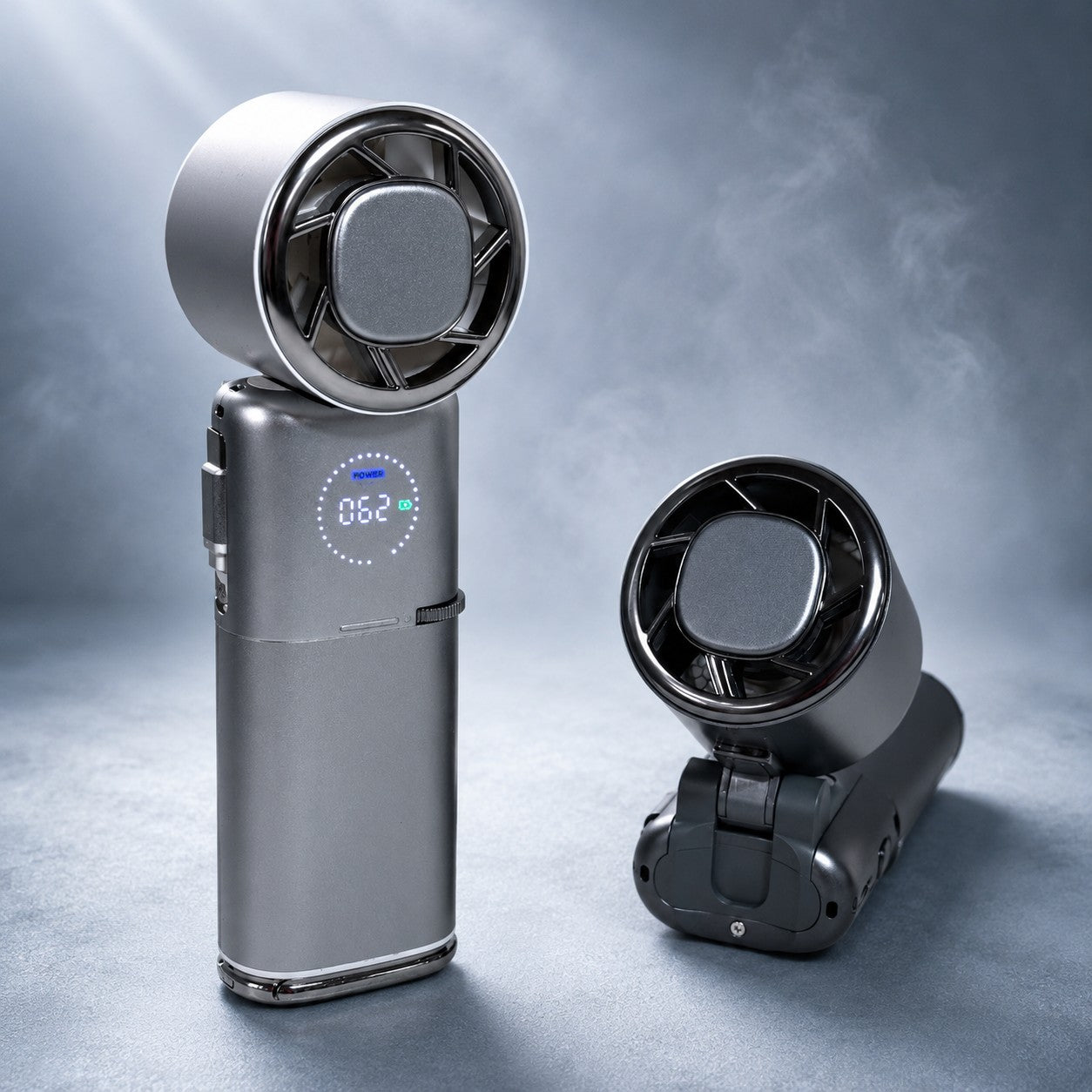
For camping, travel or everyday use, a portable fan can also move airflow wherever you are rather than tying cooling to one room.
The limit is simple. Personal cooling gear is useful for comfort, but it does not replace air-conditioning, shade, rest or a proper heat-safety plan when conditions become extreme.
Why could warm nights be one of the biggest heat problems this summer?
Above-average overnight temperatures are one of the broadest signals in Australia's current outlook. The Bureau of Meteorology favours warmer minimum temperatures across almost all of the country.
What do hot nights mean for sleep and recovery?
Night normally gives both your body and your home a chance to lose some of the heat built up during the day. A run of high minimum temperatures removes part of that relief and can make good-quality sleep harder.
The effect can build across several days. An outdoor worker starting another hot shift after a warm night may have had far less opportunity to recover than someone sleeping through cool overnight conditions.
Which regions should watch warm nights most closely?
Coastal New South Wales, coastal Queensland, the Top End and parts of Tasmania stand out because warm surrounding seas can help keep overnight temperatures elevated.
Inland areas are not immune. Strong heatwaves can keep overnight temperatures high even in dry climates.
Who needs to plan hardest for extreme heat this summer?
Outdoor workers, parents with babies, older people and anyone with reduced heat tolerance should have a plan before the first major heatwave arrives.
What should outdoor workers and tradies plan for?
For outdoor and industrial work, temperature alone does not tell the full story. Safe Work Australia says heat risk also depends on humidity, airflow, radiant heat, workload and clothing.
The Pilbara represents one of Australia's toughest combinations. Inland sites can experience routine temperatures above 40°C, while coastal sites add humidity. The Goldfields, inland South Australia, Central Australia and western New South Wales face a greater dry-heat problem.
A hands-free tradie fan or waist fan for outdoor work can provide useful airflow in suitable conditions. It should sit inside a wider plan that includes shade, water, breaks, workload management and access to cooler areas.
What should parents know about babies and prams in hot weather?
Putting a dry cloth over a pram can make the inside hotter. University of Sydney research published in Ergonomics found that after 20 minutes, dry flannelette over a pram increased the internal temperature by as much as 3.7°C. Dry muslin increased it by as much as 2.6°C.
A clip-on fan used alone reduced the temperature by only 0.1°C in the same experiment. Shade, avoiding peak heat and correctly using a damp muslin cover performed much better.
A pram fan can add airflow where appropriate, but it should not be treated as protection against extreme heat or as a reason to keep a baby outdoors when conditions are unsafe.
What should older people and people taking heat-sensitive medications consider?
Older adults can have a reduced sweating response and may be less able to cope with sustained heat. Some medications can also affect how the body handles hot conditions.
Specific advice depends on the medication and the person. Follow official heat-health guidance and speak with a medical professional if you are concerned about how a medication or health condition affects your heat tolerance.
What about pets?
Pets are particularly vulnerable inside vehicles and on hot surfaces. Make sure they have access to water, shade and a cooler environment before the hottest part of the day arrives.
What could El Nino mean for bushfires, water, power and food?
Is bushfire risk likely to be higher this summer?
The current climate setup raises concern across parts of southern and eastern Australia. El Nino, a developing positive Indian Ocean Dipole and drying fuels all point towards increased fire-weather concern in several regions.
The next AFAC seasonal bushfire outlook is expected shortly after this article's first publication. We will update the regional fire outlook when that new map and assessment are released.
Are Australia's water storages a concern?
Combined national water storages were around 69% full in early August 2026 according to Bureau of Meteorology water data, around 3 percentage points higher than a year earlier. Conditions differ significantly between systems.
Melbourne storages were at 67% on 11 August 2026 and Victorian regional storages were around 62%. A dry spring and summer would increase water demand and reduce inflows, but there is no reason at this stage to assume blanket restrictions across Australia.
Could extreme heat put pressure on the electricity grid?
Yes. Very hot weather pushes air-conditioning demand higher at the same time generators and transmission infrastructure can be under additional stress.
AEMO's 2025 Electricity Statement of Opportunities identified South Australia as the tightest National Electricity Market region for 2026-27 under the assumptions used at the time. Electricity reliability forecasts can change as generators, transmission projects and reserve arrangements change.
What could the dry outlook mean for crops and food prices?
ABARES' June 2026 Australian Crop Report forecast national winter crop production of 54.5 million tonnes for 2026-27, down 21%. New South Wales and Queensland were forecast to experience the largest falls, at around 37 to 38%.
That points to real pressure on agriculture in some regions, but it is too early to put a reliable number on what El Nino could mean for supermarket prices. ABARES is due to publish another Australian Crop Report in September, which should give a clearer view of how the season is developing.
What should Australians actually do before summer?
The best time to prepare for extreme heat is before the forecast turns red. A useful plan starts with getting your home, cooling equipment and routines sorted now, then adjusting as more detailed spring and summer outlooks arrive.
What should you do before the first heatwave?
- Check that fans, air-conditioning and other cooling equipment are working properly.
- Work out which room in the home stays coolest and how you will keep it comfortable overnight.
- Make a plan for older relatives, babies, neighbours and pets during runs of very hot weather.
- If you work outside, review shade, breaks, hydration and heat-monitoring arrangements before peak summer.
- If you live in a fire-prone area, review your state fire authority's current preparation advice before fuels dry further.
Which forecasts should you watch next?
AFAC is expected to publish its next seasonal bushfire outlook in late August. The Bureau of Meteorology's 2026-27 tropical cyclone outlook is expected in October.
Later in the year, the Bureau's December to February long-range forecast will give us a much better view of the second half of summer. We will update this guide as those reports are released.
What should you do when a very hot day is forecast?
Reduce time in direct sun, move strenuous activity into cooler hours, use shade and follow official heat-health advice.
In humid conditions, airflow across the skin can help sweat evaporate, which is where a personal or portable fan can be particularly useful for comfort.
What changes when dry heat reaches about 40°C?
Do not rely on more airflow as the complete answer. In very hot dry air, research from the University of Sydney shows fan use can become less beneficial and eventually increase heat gain.
Skin wetting, cool showers, shade and access to an air-conditioned or otherwise cooled environment become increasingly important.
What can a personal fan actually do, and what can't it do?
What is a personal fan useful for?
A personal fan moves air across your body. When conditions allow sweat to evaporate effectively, that airflow can improve comfort and make hot conditions feel more manageable.
Different formats suit different situations. A waist fan keeps your hands free. A neck fan moves air around the face and upper body. A portable fan can provide airflow at a campsite, desk, garage or wherever you are spending time.
When is a personal fan the wrong tool?
A fan is not air-conditioning and does not lower the room's air temperature. It should not be relied on as the only response to extreme dry heat around or above 40°C.
If conditions become dangerous, moving into a genuinely cooler environment matters much more than simply increasing airflow.
What can this summer outlook tell you, and what can't it tell you?
The El Nino signal is high confidence because the event is already established. Broad temperature outlooks also carry more seasonal confidence than specific local rainfall outcomes several months ahead.
No August seasonal forecast can tell you which January weekend will reach 42°C, whether a particular suburb will be hit by a severe storm or exactly how many heatwave days your town will experience.
This guide will become more precise as new Bureau of Meteorology, AFAC and tropical-season outlooks are published.
Australian summer 2026-27 FAQ
Is Australia having a Super El Nino in 2026?
Yes, current climate data supports describing the event as a strong to very strong El Nino, although "Super El Nino" is an informal term. The Bureau of Meteorology declared El Nino underway on 16 June 2026 and recorded a Relative Nino3.4 value of +2.20°C for the week ending 9 August 2026.
How strong could the 2026 El Nino become?
NOAA's August outlook gives a 69% chance of its adjusted RONI measure reaching +2.5°C or higher during October to December 2026. The mid-July IRI plume also showed 23 of 26 climate models reaching the very strong El Nino range of at least +2.0°C in Nino3.4.
Does a very strong El Nino guarantee a severe Australian summer?
No. The Bureau of Meteorology warns that a strong Pacific El Nino does not guarantee proportionally strong impacts over Australia. The 1997-98 event is a good example: it was extremely strong in the Pacific, yet Australia's rainfall response was less uniform than in some other El Nino years.
Will summer 2026-27 be hotter than average in Australia?
Warmer than average conditions are strongly favoured across most of Australia in the Bureau of Meteorology's current long-range outlook. Confidence in the broad temperature signal is stronger than confidence in specific rainfall outcomes for January or February.
Which parts of Australia should be most concerned about extreme heat?
The strongest dry-heat concern is across inland areas such as western New South Wales, Victoria's Mallee, the Western Australian Wheatbelt and Goldfields, inland South Australia and Central Australia. The Pilbara also faces severe heat, while coastal tropical regions add high humidity and very warm nights.
Will Sydney have a hotter summer in 2026-27?
Sydney and the nearby coast have an indicative maximum-temperature anomaly of around +0.5 to +1.5°C and a minimum-temperature anomaly of around +1 to +2°C. These are broad seasonal ranges rather than forecasts for individual days, and warm Tasman Sea temperatures may help keep coastal nights warmer.
Will Melbourne have a hotter summer in 2026-27?
Melbourne has an indicative maximum-temperature anomaly of around +1 to +2°C and minimum-temperature anomaly of +1 to +1.5°C. The bigger concern is the combination of a dry seasonal background with short bursts of very hot north-westerly airflow before cool changes.
Will Brisbane be hotter and more humid this summer?
South East Queensland has an indicative maximum-temperature anomaly of around +0.5 to +1.5°C and minimum-temperature anomaly of around +1 to +2°C. Coastal Brisbane will retain a humid heat profile, while areas farther inland can become noticeably drier.
Will Perth have a hotter and drier summer?
Perth and the Swan Coastal Plain lean hotter and drier, with an indicative maximum-temperature anomaly of +1 to +2°C and below-average rainfall. The Fremantle Doctor will still provide relief on many afternoons, but days when the sea breeze is weak or late may feel particularly harsh.
Will Australia get less rain during summer 2026-27?
Several southern and eastern regions have a drier lean, but Australia does not have one national rainfall outcome. The Bureau of Meteorology currently favours below-average rainfall across the south-east, far south-west and parts of eastern and northern Queensland, while some western interior and north-western regions lean wetter.
Will bushfire risk be higher during the 2026-27 summer?
The current climate setup raises concern across several southern and eastern regions, particularly where abundant grass or forest fuel is drying. AFAC's next seasonal outlook will provide a clearer official picture, and this guide will be updated once that assessment is released.
When does the NSW bush fire danger period start?
The NSW Rural Fire Service says the Bush Fire Danger Period begins on 1 October for most of New South Wales. Local arrangements can vary, so check current RFS information for your area as the season approaches.
Will El Nino mean fewer tropical cyclones around Australia?
El Nino years have historically produced fewer and later tropical cyclones in the Australian region. The Bureau of Meteorology's dedicated 2026-27 cyclone outlook is expected in October and will give a much better season-specific answer.
Will the northern Australian monsoon arrive late?
A later rainfall onset is currently favoured for parts of far northern and eastern northern Australia and the north-west coast, according to the Bureau of Meteorology outlook issued on 6 August 2026. That raises the possibility of a longer hot and humid build-up before reliable monsoonal rain arrives.
Do fans work when it is 40°C?
It depends heavily on humidity. University of Sydney research supports fan use in hot humid conditions, while very hot dry air around 39 to 40°C is a practical point where relying on a fan becomes less appropriate and other cooling methods should take priority.
Are fans better in humid heat or dry heat?
Fans can be especially useful in humid heat because moving air helps sweat evaporate. In very hot dry air, sweat already evaporates readily and moving air that is hotter than the skin can increase heat gain.
Can a personal fan replace air-conditioning during a heatwave?
No. A personal fan moves air and can improve comfort in suitable conditions, but it does not lower the room's air temperature like air-conditioning. During extreme heat, access to a genuinely cooler environment becomes increasingly important.
Is a waist fan useful for outdoor work?
A waist fan can provide hands-free airflow and may be useful where air movement supports sweat evaporation. Outdoor heat safety still needs to consider humidity, radiant heat, workload, clothing, shade, breaks and access to cooler areas.
Does a neck fan lower core body temperature?
A neck fan should be treated as a comfort and airflow device, not as a device that lowers core body temperature. It moves air around the face and upper body, which can improve comfort when conditions suit evaporative cooling.
Is it safe to cover a pram with a cloth in hot weather?
A dry cloth can make the inside of a pram hotter. University of Sydney research found that after 20 minutes, dry flannelette increased internal temperature by as much as 3.7°C and dry muslin by as much as 2.6°C.
Does a pram fan keep a baby safe in extreme heat?
A pram fan alone should not be treated as protection against extreme heat. In University of Sydney testing, a clip-on fan alone reduced pram temperature by only 0.1°C. Shade and avoiding the hottest conditions matter far more.
Why do hot nights matter during a heatwave?
Hot nights reduce the time when the body and the home would normally cool down after the day's heat. Poor overnight relief can affect sleep and reduce recovery before the next hot day, especially during multi-day heatwaves.
Could Australia have power shortages during a very hot summer?
Extreme heat can increase pressure on the electricity system because air-conditioning demand rises during the same periods when generators and infrastructure are under greater heat stress. AEMO identified South Australia as the tightest National Electricity Market region for 2026-27 under its 2025 assumptions, although the position can change as generation and transmission arrangements change.
Could El Nino cause water restrictions this summer?
There is no national prediction of water restrictions. Combined Australian storages were around 69% full in early August 2026, but conditions vary widely between individual systems. A dry spring and summer would increase drawdown and water demand in affected regions.
Will El Nino make Australian food more expensive?
ABARES expects a weaker winter crop, with its June 2026 report forecasting national production of 54.5 million tonnes, down 21%. It is still too early to put a reliable El Nino number on supermarket prices. The September ABARES update should give a clearer picture of how crop conditions are developing.
When will the Bureau of Meteorology release its summer 2026-27 forecast?
The Bureau publishes rolling long-range forecasts throughout the year, with a clearer dedicated December to February outlook expected later in spring. Its 2026-27 tropical cyclone outlook is expected earlier, in October.
How accurate is an Australian summer forecast made in August?
The El Nino call itself is high confidence because the event is already established. Broad temperature trends are also more predictable than exact local rainfall outcomes. Specific January and February heatwaves, storms and rainfall totals remain much harder to predict from August.
Could this summer turn out less severe than expected?
Yes. A very strong El Nino changes the probability of hot and dry conditions but does not guarantee extreme impacts everywhere. The 1997-98 El Nino is a useful reminder that Pacific El Nino strength and Australian weather impacts do not scale neatly together.
The honest limits of this outlook
This is a seasonal planning guide. Daily Bureau of Meteorology forecasts, state fire warnings, workplace heat procedures and official health advice should always take priority when conditions become severe.
The strongest signals as at 18 August 2026 are the established El Nino, widespread warmer-than-average temperature outlook and increased likelihood of unusually warm nights.
Rainfall, individual heatwaves, severe thunderstorms, bushfire outbreaks, monsoon timing and tropical cyclone activity are harder to predict this far ahead. That is why we will keep updating this page as summer gets closer.
Key references and further reading
We have kept this list focused on the main official and peer-reviewed sources behind this guide. Forecast pages are live and may update after the publication date above.
- Bureau of Meteorology: Southern Hemisphere monitoring - current El Nino, Indian Ocean Dipole, SOI and major climate-driver conditions.
- Bureau of Meteorology: Rainfall and temperature long-range forecasts - Australia's current seasonal temperature and rainfall outlook.
- Bureau of Meteorology: Northern rainfall onset outlook - expected timing of northern Australia's wet-season rainfall.
- NOAA Climate Prediction Center: ENSO Diagnostic Discussion - current El Nino status and forecast probabilities.
- IRI: ENSO forecast plume - multi-model probabilities for El Nino persistence and strength.
- World Meteorological Organization: El Nino/La Nina updates - international ENSO monitoring and outlooks.
- Bureau of Meteorology and CSIRO: State of the Climate 2024 - long-term Australian temperature, rainfall and ocean trends.
- AFAC: Seasonal Bushfire Outlook - official seasonal bushfire risk assessments.
- Chaseling, Vargas, Hospers et al., New England Journal of Medicine, 2024 - electric fan and skin-wetting research in extreme heat.
- Maideen, Jay, Bongers, Nanan and Smallcombe, Ergonomics, 2023 - experimental research on cooling infant prams in hot weather.
- World Health Organization: Heatwaves, how to stay cool - current public guidance on heat and electric fan use.
- Safe Work Australia: Working in heat - workplace heat risks and controls.
- ABARES: Australian Crop Report, June 2026 - current Australian winter crop production outlook.
- AEMO: Electricity Statement of Opportunities - National Electricity Market reliability outlook.
Climate outlooks change as new observations and forecasts arrive. References and dated figures on this page will be reviewed as part of our regular summer updates.
Update log
18 August 2026: First published. Added the national El Nino outlook, state-by-state temperature and rainfall guide, regional heat considerations, northern monsoon outlook, personal cooling science, key official references and the new interactive Australia Summer 2026-27 map.












Share:
The Coolest Father’s Day Gifts for Dad in Australia 2026
Shirt Fans & Undershirt Fans: The Complete Guide