


What El Niño Means for Australia in 2026: Hotter Days, Less Snow and a Summer to Watch
Australia is once again watching the Pacific Ocean very closely. But beyond the climate charts and “super El Niño” headlines, what does it actually mean for Aussies day to day?
Is El Niño happening?
As of mid-June 2026, global agencies are pointing strongly toward El Niño conditions, while Australia’s Bureau of Meteorology says the tropical Pacific is approaching El Niño and needs sustained ocean-atmosphere coupling before it is fully declared.
What does it mean?
El Niño usually tilts Australia toward warmer and drier conditions, especially through winter, spring and early summer across parts of southern and eastern Australia.
Should we prepare?
Yes. Not in a panic way. In a “sort your shade, cooling, hydration and heat plan before the first proper scorcher” kind of way.
So… what is El Niño in plain English?
El Niño is part of a natural climate pattern called ENSO, short for the El Niño–Southern Oscillation. It happens in the tropical Pacific Ocean, but its effects can reach all the way to Australia’s weather, rainfall, snow season, fire danger and summer heat.
Normally, trade winds push warm surface water westward across the Pacific toward Australia and Indonesia. That warm water helps support cloud, rainfall and tropical weather closer to our side of the Pacific.
During El Niño, those trade winds weaken or sometimes reverse. Warm water shifts toward the central and eastern Pacific, away from Australia. The rainfall patterns shift with it.
A simple way to picture it: La Niña often stacks more warm water and rain-making energy near Australia. El Niño pulls more of that tropical action away from us.
That is why La Niña years are often wetter for eastern Australia, while El Niño years are often drier and hotter, especially through winter, spring and early summer.
Is Australia heading into a “super El Niño”?
Not yet — and this is where we need to be careful with the headlines.
By mid-June 2026, the Pacific is showing strong signs of developing El Niño conditions. NOAA in the United States has stated that El Niño conditions are present and expected to strengthen into the Northern Hemisphere winter of 2026–27. Australia’s Bureau of Meteorology is more cautious and says the tropical Pacific is approaching El Niño, with ocean temperatures above threshold and atmospheric indicators starting to align.
That difference matters. The Bureau generally wants to see the ocean and atmosphere couple together for long enough before declaring a full El Niño event.
Think of it like starting a car. The dashboard lights are on. The engine has turned over. The car looks ready to move. But the Bureau is waiting to see it actually drive down the road before calling the trip started.
The phrase “super El Niño” is usually used for the strongest El Niño events on record, such as 1982–83, 1997–98 and 2015–16. The current event may strengthen significantly later in 2026, but as of mid-June it is more accurate to call it a developing El Niño with potential to become strong.
The useful takeaway
For Aussies, the practical answer is not “panic, a super El Niño is here.” It is: prepare for El Niño-like conditions through the second half of 2026, but avoid treating every dramatic headline as guaranteed.
What El Niño usually means for Australia
El Niño is not a weather forecast by itself. It does not guarantee a bad snow season, a dry winter, a brutal summer or a scary fire season. What it does is tilt the odds.
In Australia, El Niño years are commonly linked with:
- Warmer-than-average temperatures across much of southern Australia
- Reduced winter and spring rainfall in parts of eastern, northern and southern Australia
- Higher drought risk if dry conditions persist
- Lower alpine snow depths and shorter snow seasons on average
- Later monsoon onset in northern Australia
- Fewer tropical cyclones around Australia, especially near Queensland
- Higher fire danger in southeast Australia if fuels dry out
- More heat stress risk heading into spring and summer
That does not mean every region gets the same outcome. Australia is a big, messy continent. El Niño can feel different in Sydney, Melbourne, Perth, Brisbane, Hobart, Darwin, Adelaide, Canberra and the Snowy Mountains.
Still, the broad message for 2026 is clear enough: Aussies should prepare for a warmer, drier-leaning second half of the year, with summer heat risk worth taking seriously.
Will Australia have a warmer winter in 2026?
For much of Australia south of the tropics, the answer is likely yes.
The Bureau’s July to September 2026 outlook points to above-average daytime temperatures across most of Australia south of the tropics. Overnight temperatures are also likely to be above average across much of the country.
That means winter may feel less like “proper winter” in many places, especially across southern Australia, eastern New South Wales, Victoria, Tasmania, South Australia and parts of Western Australia.
But it is not uniform. Northern Queensland and parts of the Northern Territory may see below-average maximum temperatures across the July to September period. This is why national averages can be misleading. “Australia is warmer” does not mean every suburb, farm, station or worksite is warmer every day.
What warmer winter actually feels like
For most people, the winter signal is less about constant hot weather and more about:
- Milder winter days
- Warmer nights in many regions
- Drier air and less cloud in some areas
- Earlier “spring-like” warmth
- Higher chance of warm spells before summer officially arrives
This matters because heat stress can creep up before people are ready for it. A 29°C day in late winter or early spring can feel surprisingly uncomfortable because your body, routine and cooling setup may still be in winter mode.
What does El Niño mean for the snowfields?
This is one of the clearer impacts for Australia.
El Niño years tend to be tougher for alpine regions. On average, snow depths are lower and the snow season is shorter. The Bureau has noted that peak snow depth at Spencer’s Creek in the Snowy Mountains averages about 35 cm lower during El Niño years, and the period with snow depth above 100 cm is around 2.5 weeks shorter.
That does not mean every El Niño ski season is a complete wipe-out. Cold nights can still help resorts make snow when conditions allow, and some El Niño years have still delivered decent snowfalls.
But the odds are tilted in the wrong direction.
For snow lovers: the 2026 season is worth watching closely, especially later in winter and into spring. Early snowfalls can still happen, but warmer and drier patterns can make it harder to build and hold a deep natural base.
For ski resorts and alpine towns, the bigger issue is reliability. A shorter or patchier season can affect bookings, staffing, events, transport, hospitality and local businesses.
For the rest of us, it is another reminder that El Niño is not just a “summer heat” story. It can affect winter tourism, water storage, agriculture and regional economies months before beach season starts.
Does El Niño mean less rain?
Often, yes — especially through winter and spring.
In Australia, El Niño is commonly linked with reduced rainfall across parts of eastern, northern and southern Australia. The Bureau has noted that winter–spring rainfall in the Murray–Darling Basin has averaged well below normal during El Niño events since 1900.
For 2026, the Bureau’s July to September outlook points to below-average rainfall being more likely in parts of Western Australia’s South West Land Division, central parts of the Northern Territory, much of southern Queensland, and most of southeast Australia, including Tasmania.
For Aussies, that can mean:
- Drier lawns, gardens and parks
- More dust on worksites and rural roads
- Higher irrigation pressure for farms
- Less runoff into dams and streams
- Drier bush and grass fuels heading into fire season
- More uncomfortable dry heat in inland and southern regions
But El Niño does not guarantee drought everywhere. Some areas can still get heavy rain from individual storms, east coast lows, tropical systems or local weather setups. The key is not “no rain.” It is “higher risk of below-average rain in important regions during important seasons.”
Will summer 2026–27 be hotter?
Most likely, the risk is elevated.
A developing El Niño that strengthens through late 2026 would line up with the time of year when Australia is already moving into its hottest months. Historically, El Niño years tend to bring warmer-than-average temperatures across much of southern Australia, especially in the second half of the year.
This does not mean every city will break records. It does not mean every week will be hot. But it does increase the odds of:
- Hotter spring days
- Earlier heat events
- More intense single-day heat
- Warmer nights in some regions
- Dry heat across inland and southern areas
- Higher heat stress for outdoor workers and vulnerable people
The background climate also matters. Australia has warmed significantly since 1910, and extreme heat events have increased with that warming. So when El Niño arrives today, it is not landing on the climate of the 1950s. It is landing on a warmer baseline.
That means a “normal” El Niño pattern can feel more intense than it used to.
The real-life translation
Instead of waiting until January to think about cooling, Aussies may need to prepare earlier — in spring, not mid-summer. Shade, hydration, airflow and portable cooling become much more useful when the first hot spell arrives before everyone is mentally ready for it.
Does El Niño make heatwaves worse?
El Niño can increase the chance of hotter conditions, but heatwaves are influenced by many factors.
In southern coastal cities like Melbourne and Adelaide, El Niño can be associated with more intense single-day heat extremes. Further north, El Niño can be linked with both more extreme hot days and longer warm spells.
For regular Aussies, the difference between “hot day” and “heatwave” matters less than the practical reality: when hot weather hangs around, life gets harder.
You sleep worse. Trains and roads get more uncomfortable. Outdoor work feels heavier. Kids’ sport gets cancelled. Pets need extra care. Power bills climb. Fans and air conditioning suddenly become less of a luxury and more of a comfort plan.
This is where personal cooling becomes useful. A waist fan, neck fan or handheld fan will not change the weather, but it can help make daily heat more manageable when you are walking, commuting, working, camping, travelling or standing around at an outdoor event.
Think of it as creating your own little breeze bubble when the air decides to stop cooperating.
What about bushfires?
El Niño can raise bushfire risk, especially in southeast Australia, because it often brings the combination fires like: lower rainfall, warmer temperatures and drier fuels.
The risk becomes more serious if El Niño combines with a positive Indian Ocean Dipole. That pattern can further reduce rainfall across parts of southern and eastern Australia.
For 2026, there are already signs worth watching. AFAC’s Winter 2026 Seasonal Bushfire Outlook points to above-normal fire potential later in winter for drought-affected areas of central and northern New South Wales, driven by unusually hot and dry autumn conditions.
That does not mean a bad summer fire season is guaranteed. Fire risk depends on rainfall, fuel loads, wind, lightning, heat, ignition sources, land management and emergency conditions.
But a dry winter and spring can set the stage.
Practical steps for households
- Follow local fire authority updates
- Prepare properties early
- Keep bushfire plans current
- Avoid waiting until the first severe fire weather warning
- Treat hot, dry and windy days with respect
From a comfort perspective, bushfire days can also mean smoke, poor air quality and windows staying closed. That can make homes and workplaces feel hotter and more uncomfortable, even when outdoor temperatures are not record-breaking.
El Niño impacts at a glance
| Area of life | What El Niño can mean | What Aussies should watch |
|---|---|---|
| Winter weather | Warmer-than-average days across much of southern Australia. | Milder winter days, warmer nights and earlier spring-like warmth. |
| Snowfields | Lower snow depth and shorter snow season on average. | Patchier natural snow, later-season reliability and resort updates. |
| Rainfall | Higher chance of below-average winter and spring rainfall in many regions. | Dry gardens, water pressure, drought updates and local restrictions. |
| Summer heat | Higher odds of hotter days and earlier heat events. | Spring heat, warm nights, heatwave warnings and cooling plans. |
| Bushfire risk | Potentially higher risk where fuels dry out. | Fire danger ratings, local fire authority advice and property preparation. |
| Northern Australia | Later monsoon onset and fewer tropical cyclones on average. | Longer build-up heat, humidity, storms and official cyclone outlooks. |
What does El Niño mean by state and region?
El Niño does not hit the whole country in the same way. Here is the simple regional breakdown.
New South Wales and ACT
NSW is one of the regions to watch closely. Eastern NSW has a stronger warm signal in the winter outlook, and parts of central and northern NSW already have elevated fire potential later in winter. Inland NSW may face stronger dry heat and higher fire-weather concern if rainfall stays low.
Victoria
Victoria often feels El Niño through warmer spring and summer conditions, reduced rainfall risk and increased fire danger if drying builds. Melbourne may not get constant heat, but single hot days can arrive sharply and feel uncomfortable.
Queensland
Queensland is mixed. Southern Queensland has a higher chance of dry conditions, while parts of northern Queensland may see cooler winter daytime temperatures. In summer, El Niño often means fewer tropical cyclones on average, but heat and storms can still hit hard.
South Australia
South Australia often feels El Niño through heat, dryness and fire-weather risk. Adelaide and regional SA can experience intense single-day heat, and dry spring conditions can build pressure before summer.
Western Australia
Southwest WA has a clearer dry signal in the winter outlook. Perth and southwest WA may face warmer, drier conditions, though El Niño’s strongest rainfall influence is often more obvious in eastern Australia.
Tasmania
Tasmania is included in the southeast dry signal and has higher chances of warmer days and nights through winter and early spring. Warmer nights can be especially noticeable in homes designed more for holding warmth than releasing heat.
Northern Territory
The NT has a mixed winter outlook, with central areas leaning drier and northern parts potentially cooler by day. Later in the year, El Niño can delay the monsoon and extend the uncomfortable build-up before proper rain arrives.
Australian snowfields
The Snowy Mountains and Victorian alpine areas face higher risk of lower snow depth and shorter season length. Resorts can still receive snow, but natural snow reliability is usually under more pressure in El Niño years.
What does this actually mean for Aussies day to day?
The simple version: prepare earlier, expect more heat variability, and do not wait until the first heatwave to sort your cooling plan.
For households, that might mean checking fans, air conditioners, window coverings, insulation and shaded outdoor spaces before summer. It may also mean thinking about portable cooling for rooms, rentals, caravans, sheds or outdoor areas where fixed air conditioning is not practical.
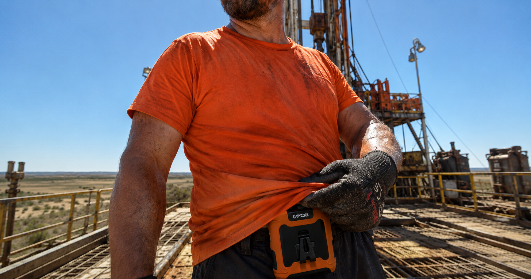
For outdoor workers, it means planning for heat stress before the calendar says “summer.” Hot days in spring can catch people off guard, especially on worksites, farms, warehouses, markets, festivals and delivery routes.
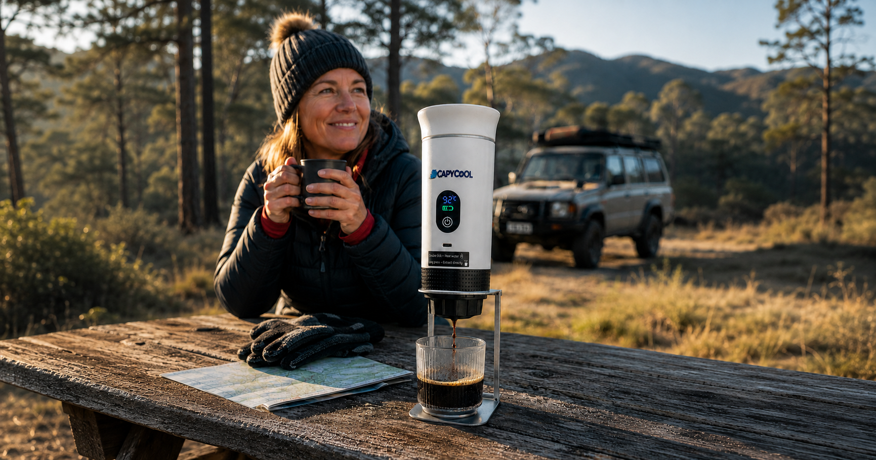
For travellers, it means expecting heat to affect plans. A portable fan can make a real difference when you are queueing, walking between transport, camping, waiting at airports, exploring theme parks or dealing with hot hotel rooms.
For parents, it means being ready for warm school pick-ups, weekend sport, outdoor events and long car days.
For renters, it means having flexible cooling options that do not require installation.
And for anyone who runs hot at the best of times, it means not treating personal cooling as a summer-only thought. In an El Niño year, the uncomfortable season can start early and hang around longer.
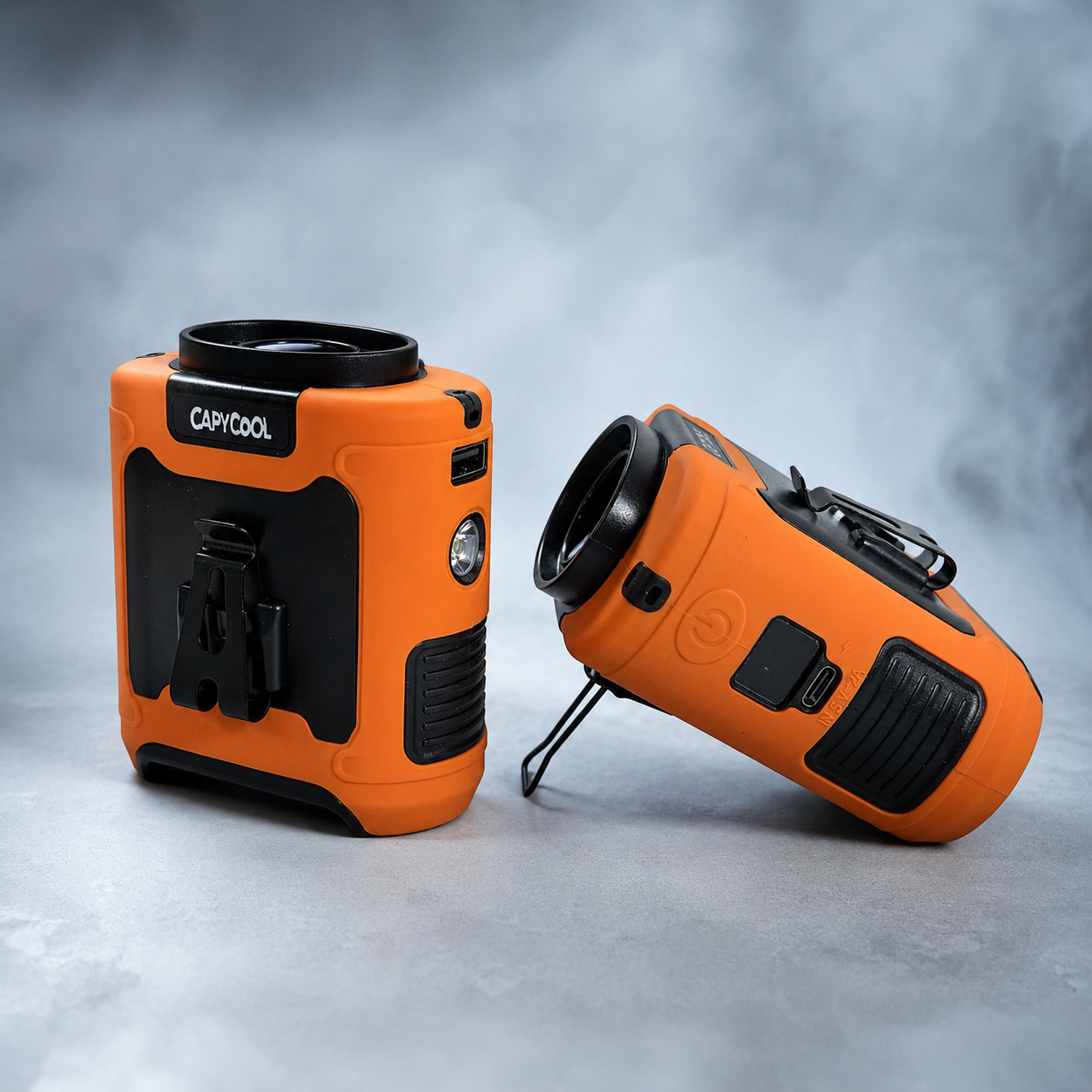
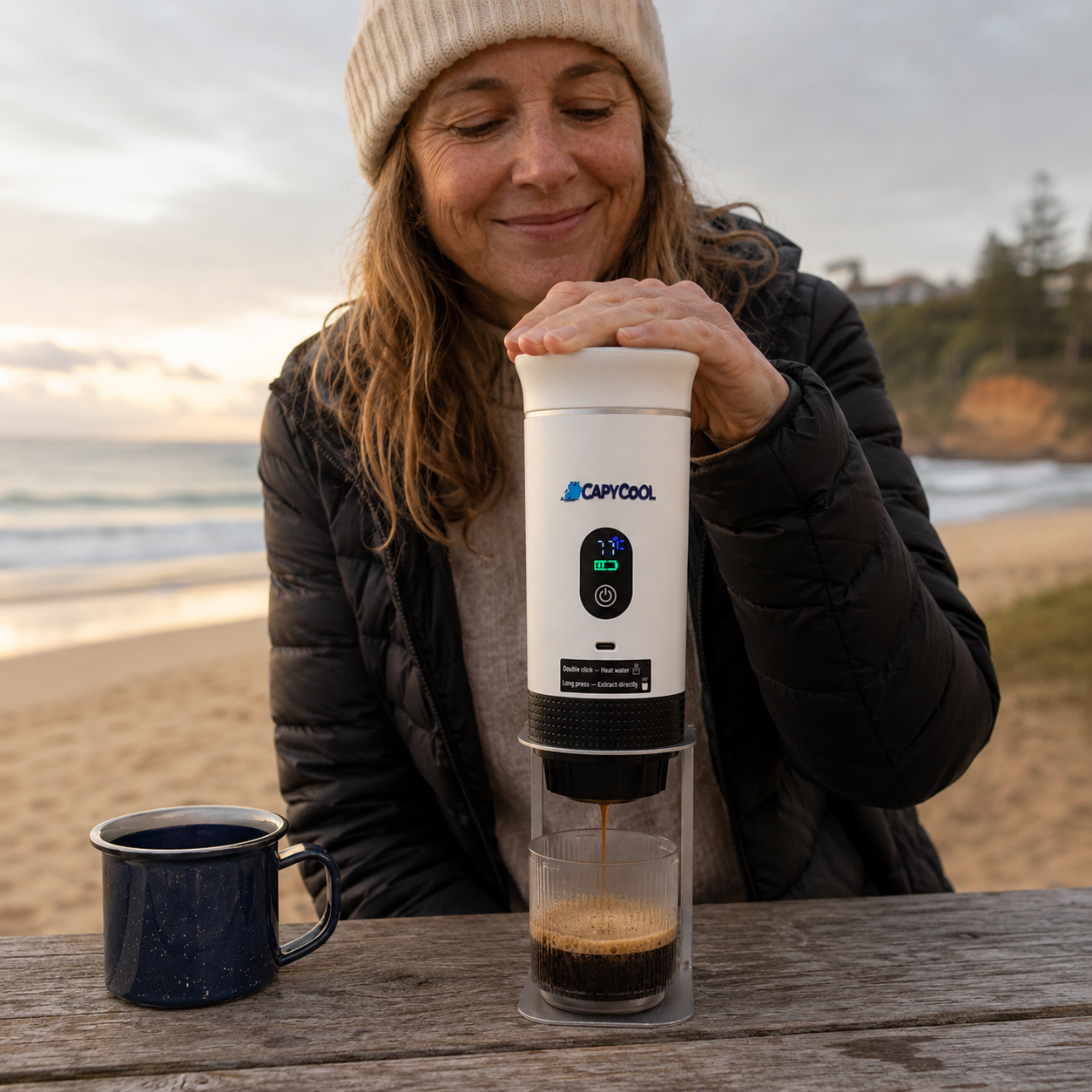
Where CapyCool fits in
At CapyCool, we are big believers in personal cooling — but we will also say this clearly: a fan is not a magic shield against dangerous heat.
On severe heat days, always follow official health advice, drink water, avoid unnecessary exposure, stay in shade, check on vulnerable people and use proper cooling spaces where needed.
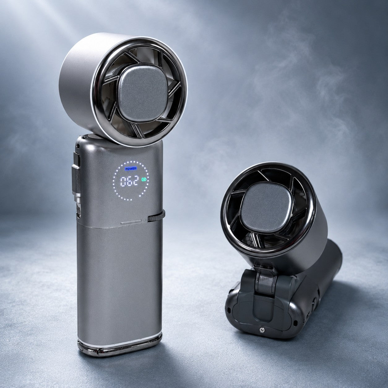
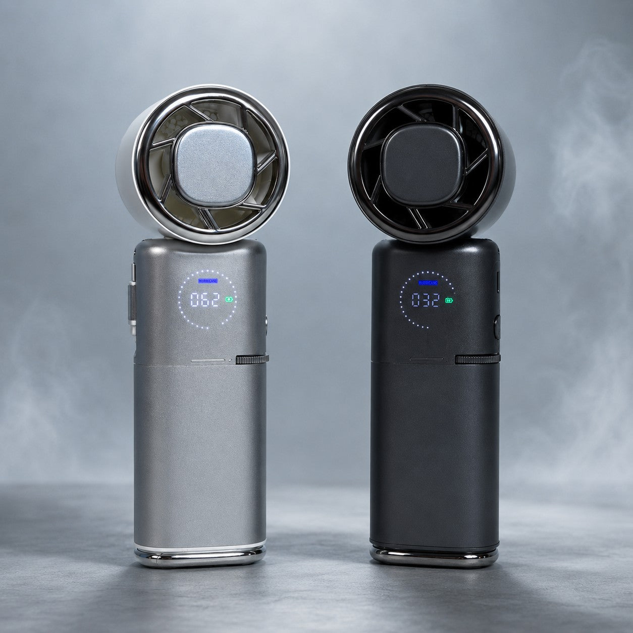
What portable fans can do is help with the everyday heat load: the warm commute, the stuffy warehouse, the long queue, the outdoor job, the school run, the festival, the camping trip, the humid walk or the room where the air just refuses to move.
That is where waist fans, neck fans and handheld fans shine. They give you airflow where you actually are — not just where the nearest wall socket happens to be.
So, should Aussies be worried?
Worried? Not exactly. Prepared? Definitely.
El Niño is not a switch that instantly makes Australia hot and dry everywhere. It is a climate pattern that nudges the odds. In 2026, those odds are pointing toward warmer conditions across much of southern Australia, pressure on the snow season, increased dry-weather risk and a summer that deserves attention.
The smartest move is to stay updated with official forecasts, take heat seriously, and get ready before the first proper hot spell arrives.
Because if 2026 does turn into a strong El Niño year, staying comfortable will not just be about blasting the air con at home. It will be about having a smarter cooling setup for real Australian life: moving around, working hard, travelling, sweating, adapting and somehow still trying to enjoy summer.
Very capybara of us, really.
FAQs: El Niño in Australia 2026
Is El Niño happening in Australia in 2026?
El Niño is a Pacific Ocean climate pattern, not something that happens “in Australia” directly. As of mid-June 2026, global agencies are pointing strongly toward El Niño conditions, while Australia’s Bureau of Meteorology says the tropical Pacific is approaching El Niño and may become established if ocean-atmosphere coupling continues.
Is this a super El Niño?
Not yet. Forecasts suggest the event may strengthen later in 2026, and some models show the possibility of a very strong El Niño. But as of mid-June 2026, it is more accurate to describe it as a developing El Niño with potential to strengthen.
When will El Niño peak?
El Niño events typically develop during autumn and winter, strengthen through spring, and often peak between late spring and summer. For the 2026–27 event, the most likely peak window is late 2026 into early 2027, depending on how the atmosphere and ocean continue to interact.
When will El Niño end?
Most El Niño events last around 9 to 12 months, though some last longer. If this event follows a typical pattern, it may weaken during autumn or winter 2027. However, the exact end date is uncertain.
Will winter 2026 be warmer in Australia?
For much of Australia south of the tropics, winter and early spring are likely to be warmer than average, especially for daytime temperatures. Overnight temperatures are also likely to be above average across much of the country. Northern Queensland and parts of the NT are exceptions, with below-average winter daytime temperatures possible.
Does El Niño mean a hot summer?
It raises the risk of a hotter summer, especially across southern and eastern Australia. It does not guarantee constant heat, but it increases the chance of hotter days, earlier heat events and more uncomfortable warm periods.
Will summer 2026–27 be extreme?
It is too early to say exactly how extreme summer will be. The risk is elevated because El Niño is likely to strengthen into late 2026, but local outcomes will also depend on the Indian Ocean Dipole, Southern Annular Mode, rainfall, soil moisture and regional weather patterns.
Does El Niño cause heatwaves?
El Niño can increase the odds of hotter conditions and certain types of heat extremes in Australia, but heatwaves are influenced by many factors. In practical terms, El Niño years can make heat preparation more important, especially from spring onward.
Does El Niño mean less rain?
Often, yes, especially through winter and spring across parts of eastern, northern and southern Australia. But it does not mean every region will be dry or that heavy rain cannot occur.
Will there be drought?
El Niño increases drought risk, especially if below-average rainfall persists through winter and spring. However, drought depends on how much rain actually falls, how dry soils become, and whether other climate drivers reinforce the pattern.
What does El Niño mean for the snow season?
El Niño years tend to have lower alpine snow depths and shorter snow seasons on average. Snow can still fall, and some El Niño seasons have been decent, but the risk is tilted toward a thinner and less reliable snowpack.
Will the Australian snowfields have a bad season?
Not guaranteed, but the risk is higher than usual. Warmer temperatures and reduced precipitation can make it harder to build and maintain a deep natural snow base, especially later in the season.
Does El Niño increase bushfire risk?
It can, especially in southeast Australia, because El Niño often brings warmer and drier conditions. The risk is higher if El Niño combines with a positive Indian Ocean Dipole and if winter or spring rainfall is low.
Does El Niño mean fewer cyclones?
On average, Australia tends to see fewer tropical cyclones in El Niño years, particularly around Queensland. But fewer does not mean none, and severe tropical weather can still occur.
What does El Niño mean for northern Australia?
Northern Australia often sees a later monsoon onset during El Niño years, usually around 2 to 6 weeks later compared with La Niña years. That can mean a hotter, drier build-up before the wet season properly arrives.
Should I prepare for summer earlier this year?
Yes. If El Niño continues to build, spring heat may become more important than usual. It makes sense to check your cooling setup, fans, air conditioning, shade, hydration routines and heat plans before the first major heatwave.
Are portable fans useful during El Niño?
Portable fans can help with everyday comfort by improving airflow around your body, especially while commuting, working, travelling, camping or spending time outdoors. They are not a substitute for official heat safety advice, but they can be a practical part of your cooling setup.
What is the biggest thing Aussies should know?
El Niño does not guarantee one specific outcome, but it shifts the odds toward warmer and drier conditions in many parts of Australia. For 2026, the smart move is to prepare early, stay informed, and take heat seriously before summer hits full speed.
Sources and further reading
- Bureau of Meteorology — ENSO Outlook
- Bureau of Meteorology — Long-range Forecasts
- Bureau of Meteorology — El Niño and Australia
- NOAA Climate Prediction Center — ENSO Diagnostic Discussion
- International Research Institute — ENSO Forecast
- CSIRO and Bureau of Meteorology — State of the Climate
- AFAC — Seasonal Bushfire Outlook Winter 2026
This article is general information only and is based on publicly available climate outlooks as of June 2026. Always follow official weather, health and emergency advice for your local area.


Share:
Clip On Fans Australia: The Complete Guide to Clippable Cooling in 2026